Tuesday, February 28th, 2017
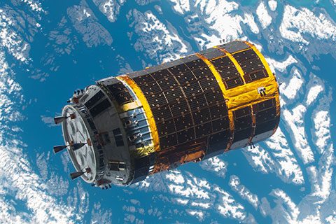
The Japan Aerospace Exploration Agency (JAXA) announced that its H-II Transfer Vehicle KOUNOTORI6 (HTV6), after completion of deorbit maneuver, reentered Earth according to schedule on Feb. 5, 2017. KOUNOTORI6 berthed to the International Space Station (ISS) on...
Tuesday, February 21st, 2017
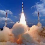
On Feb. 15, 2017, India’s space agency (ISRO) successfully launched a record 104 satellites on a single rocket; this is the highest number of satellites ever launched in a single mission. The Polar Satellite Launch Vehicle PSLV-C37...

Monday, February 6th, 2017
As of January 2017, Australia’s coordinates officially moved 1.8 meters northeast, following the launch of the Geocentric Datum of Australia 2020 (GDA2020). The first update to Australia’s coordinate system in two decades, GDA2020 is a step toward...
Wednesday, February 1st, 2017
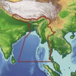
Getech recently released an in-depth report aimed at providing insight into the geology of Myanmar and the surrounding regions. Exploration teams who have access to this report are expected to benefit from understanding the tectonic and geological...

Tuesday, January 24th, 2017
The $4 billion geospatial industry in India is expected to become a $20 billion market by 2025, growing at a cumulative annual rate of 12-15 percent. According to M. Venkaiah Naidu, Union Minister of Urban Development, Housing...
Tuesday, January 17th, 2017
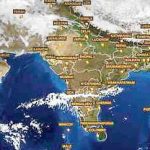
The Indian Space Research Organisation (ISRO) has gathered approximately 17 petabytes (17 million GB) of geospatial data, with expectations of having more than 50 petabytes in the next five years. To encourage use of this wealth of...
Tuesday, January 10th, 2017
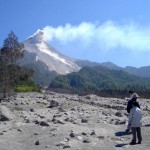
Indonesia has the world’s greatest at-risk population for volcano hazards and is the most volcanically active nation on Earth. To help mitigate potential disasters to its country and people, the Indonesian Center for Volcanology and Geologic Hazard...

Thursday, January 5th, 2017
On Dec. 28, 2016, China launched a pair of high-resolution remote-sensing satellites from the Taiyuan Satellite Launch Centre in Shanxi Province, state-run Xinhua news agency reported. The satellites, SuperView-1 01/02, were launched on a Long March 2D...
Tuesday, December 20th, 2016
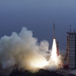
On Dec. 20, 2016, the Japan Aerospace Exploration Agency (JAXA) successfully launched from the Uchinoura Space Center an Epsilon rocket carrying the Exploration of energization and Radiation in Geospace (ERG) satellite. The launch vehicle flew as planned,...
Tuesday, December 13th, 2016
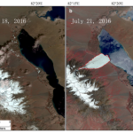
The Journal of Glaciology recently published the first account from scientists at the Institute of Tibetan Plateau Research of the Chinese Academy of Sciences (ITPCAS) concerning a glacier that collapsed on July 17, 2016, killing nine local...