Monday, June 23rd, 2025
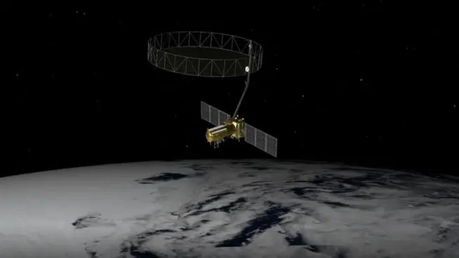
The $1.5 billion Earth-observing satellite, weighing nearly three tonnes, will monitor the planet's surface with unmatched precision, using advanced radar to scan land, ice, and water every 12 days. Jointly developed by NASA's Jet Propulsion Laboratory and...
Friday, June 6th, 2025
Japan’s Institute for Q-shu Pioneers of Space, iQPS, plans to launch eight additional synthetic aperture radar (SAR) satellites through the end of 2026. Rocket Lab, the U.S. launch provider that sent QPS-SAR-10 into orbit on May 17, 2025, is on...
Tuesday, May 27th, 2025
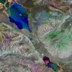
Although radar images are naturally black and white, this false-color composite of Lake Alakol in eastern Kazakhstan results from the combination of three separate radar images acquired a month apart in 2025. Each image has been given a...

Tuesday, May 13th, 2025
The Centre for Geographic Information Systems (CGIS), the official geospatial agency of the State of Qatar, successfully delivered the country’s first advanced, vectorized, watertight 3D city model of Doha. CGIS collected, in collaboration with Khatib & Alami, aerial data...

Saturday, April 26th, 2025
On March 28, 2025, a powerful magnitude 7.7 earthquake struck central Myanmar, sending shockwaves through the region. While the country is still dealing with the devasting aftermath, scientists have used radar images from the Copernicus Sentinel-1 radar satellites to...
Monday, April 14th, 2025
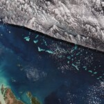
This Copernicus Sentinel-2 image shows part of one of the world’s natural wonders: the Great Barrier Reef in the Coral Sea off the east coast of Queensland, Australia. The Great Barrier Reef extends for nearly 2,300 kilometers and covers...
Monday, March 31st, 2025
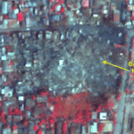
An earthquake of magnitude 7.7 struck Myanmar on March 28, 2025, followed by a strong aftershock of magnitude 6.4. The epicenter of the quake was located near Mandalay, Myanmar's second-largest city, which experienced severe damage. The earthquake...
Tuesday, March 18th, 2025
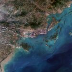
This Copernicus Sentinel-2 image showcases striking rocky formations amid the blue waters of Halong Bay in northeast Vietnam. Halong Bay spans about 1500 square kilometers along the northwest coast of the Gulf of Tonkin, the northwest extension of the South...

Tuesday, March 4th, 2025
Tetra Tech won three MAPPS Awards for a single project using the Teledyne Optech CZMIL SuperNova. The awards include the MAPPS Award for Airborne Acquisition and Processing, the MAPPS Member Choice Award and the MAPPS Grand Award. ...
Friday, February 14th, 2025
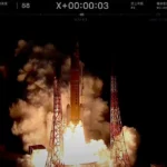
An H3 rocket launched the Michibiki 6 navigation spacecraft from Tanegashima Space Center on Feb. 2, 2025, to a geostationary transfer orbit, deploying it there 29 minutes after launch as planned. Image Credit: JAXA