Wednesday, September 28th, 2016
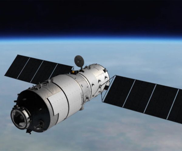
China's Tiangong-1 space station, which has been orbiting Earth since 2011 to test technologies the country will use for a planned space station it will launch in 2020s, is out of control and falling back to Earth....
Tuesday, September 20th, 2016
On Sept. 8, 2016, Yuichi Yamaura, vice president of the Japan Aerospace Exploration Agency (JAXA), and H.E. Cihan Kanlıgöz, director general of Aeronautics and Space Technologies, Ministry of Transport, Maritime Affairs and Communications of the Republic of...

Wednesday, September 14th, 2016
The Japan Aerospace Exploration Agency (JAXA) interviewed Kenichi Shishido, who is in charge of forestry and conservation projects at the Japan International Cooperation Agency (JICA), an independent administrative institution that coordinates official development assistance for the government...

Thursday, September 8th, 2016
The newly constituted Goa State Wetland Authority formed a nodal agency to study a report based on satellite remote-sensing data, which found 550 wetlands in the state in southwest India. The report was prepared by the Ahmedabad-based...
Tuesday, August 30th, 2016
According to the South China Morning Post, China is considering a project to establish a permanently manned radar station on the moon. The project received an initial funding of 16 million yuan ($2.4 million) from the National...
Tuesday, August 23rd, 2016
A new analysis of satellite images shows that nearly 30 percent of India’s agricultural land is turning into desert, and the rate of soil degradation is increasing at an alarming rate. The report by the Indian Space...
Tuesday, August 16th, 2016
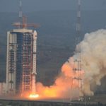
On Aug. 9, 2016, China launched its Gaofen-3 remote-sensing satellite aboard a Long March-4C rocket. Designed by the China Academy of Space Technology, Gaofen-3 features a multi-polarized C-band synthetic-aperture radar (SAR) sensor at meter-level resolution. The new...

Tuesday, August 9th, 2016
Diwata-1, the Philippines’ first microsatellite, collected and returned test images of some portions of Dumingag town in Zamboanga del Sur, a mountainous area in Mindanao, according to an attached agency of the country’s Department of Science and...
Tuesday, August 2nd, 2016
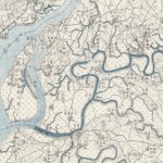
According to an article in National Geographic, eight years ago, Stanford graduate student Meiyu Hsieh stumbled across an uncataloged archive of 8,000 military maps captured from Japan toward the end of World War II. Stylistically, the...
Monday, July 18th, 2016
Much of Angkor has become a tangle of jungles and small farms with little evidence of medieval settlements beyond the moats' precise edges. Much of what has remained of Angkor's homes and other non-religious structures are the...