Feature
Tuesday, December 12th, 2017
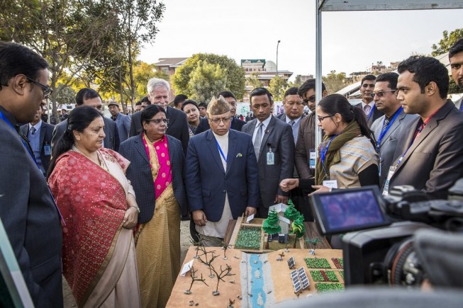
The International Centre for Integrated Mountain Development (ICIMOD) and Radiant.Earth signed a strategic partnership agreement for knowledge and technology transfer of Earth observation (EO). Under this agreement, the parties will establish and implement innovative EO and geospatial...

Tuesday, December 5th, 2017
On Nov. 17, 2017, the Vietnam National Space Center (VNSC) and the Japan Aerospace Exploration Agency (JAXA) agreed to cooperate in the field of Public Affairs. JAXA will provide scale models to be exhibited at the Vietnam...
Monday, November 27th, 2017
NASA’s Global Precipitation Measurement Mission (GPM) core satellite analyzed severe storms that moved into Jeddah, Saudi Arabia, on Nov. 21, 2017. Heavy downpours caused schools and universities to close, and the General Authority of Meteorology and Environment...
Monday, November 20th, 2017
India has the highest net cropland area while South Asia and Europe are considered agricultural capitals of the world A new map was released detailing croplands worldwide in the highest resolution yet, helping to ensure global...
Monday, November 13th, 2017
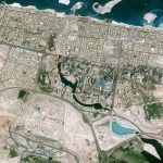
The CNES (Space Agency of France) Pléiades satellite acquired this image of Downtown Dubai, including some of Dubai's most well-known landmarks: the Burj Khalifa, Dubai Mall and Dubai Fountain. Due to the presence of these famous sites,...
Monday, November 6th, 2017
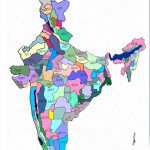
India’s Union Ministry of Agriculture mapped 185 districts under a project using remote-sensing technology to identify areas best suited for seven different fruits and vegetables across the country. The first report, for eight states in the North...

Tuesday, October 31st, 2017
Japan looks to offer companies free access to troves of satellite images starting in fiscal-year 2018, aiming to help with tasks such as inspecting infrastructure remotely and forecasting crop harvests. The move will be announced in a...
Tuesday, October 24th, 2017
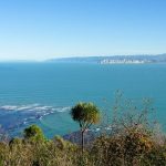
New Zealand’s North and South islands are well known for providing picturesque scenery. Beneath its bucolic veneer, however, the country is continuously being ripped to shreds by geophysical activity. Each year, New Zealand experiences approximately 14,000 tremors,...
Tuesday, October 17th, 2017
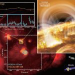
An international research team led by Dr. Shin-nosuke Ishikawa, project research fellow of the Japan Aerospace Exploration Agency (JAXA), succeeded in detecting the subtle signs of nanoflares in a region of the solar corona where no discernible...
Monday, October 9th, 2017
Water industry experts from South Australia were appointed to deliver a stormwater harvesting pilot project for the Chinese city of Jinan under the Sponge City program, which is part of AU$400 million being invested in Jinan over...
