
Thursday, March 29th, 2012
Energy is a key issue around the globe to today and Geoff Zeiss of Autodesk is no stranger to utilities and infrastructure. He has been writing extensively about energy related matters on his excellent blog ‘Between the...

Thursday, March 29th, 2012
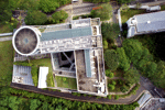
The Seoul Metropolitan Geoinformaiton Portal is an integrated, map-based web server system that provides citizens with a high level of detail about facilities and places in the City of Seoul, South Korea. The multi.lingual site includes data...

Thursday, March 22nd, 2012
Mapping plays an important role during disaster and disease outbreaks. The city of Pune in India is experiencing an outbreak of H1N1 influenza this week, and mapping is being employed to meet the challenge. At the same...

Wednesday, March 21st, 2012
For the first time Singaporean authorities have given permission for a photogrammetric UAV mapping/modeling flight over an important area of the city. In the context of the SEC-FCL (Future Cities Laboratory) project a pilot study is conducted...

Thursday, March 15th, 2012
The Digital Earth Summit will convene for the fourth biannual event from Sept. 2-4, 2012 in Wellington, New Zealand. This event is sponsored by both the Wellington City Council and Land Information New Zealand and coordinated by...

Friday, March 9th, 2012
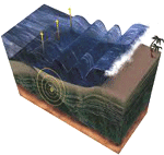
The Japan Tsunami disaster resulted in a proliferation of mapping and cartographic production. This resulted from the many needs of people to identify and provide emergency services, to enable protective services, assist in geophysical studies and to...

Friday, March 9th, 2012
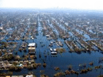
Australia is once again experiencing flooding and it is expected that flooding will result in nearly $1 billion of damage. Although waters have receded in some places, more rains are expected over the next few days and...

Thursday, March 8th, 2012
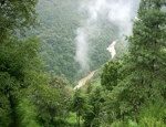
The mountainous kingdom of Bhutan, whose economy relies heavily on agriculture and forestry, began an ambitious National Forest Inventory project in 2010 to capture comprehensive data on forest cover and resources. The country's supreme law maintains that...

Thursday, March 1st, 2012
Digital airborne cameras have been available on the market for use globally for many years, Without doubt they provide high quality results, have nurtured and created capacity for supporting information gathering through to processing and distribution. By...