Tuesday, December 13th, 2016
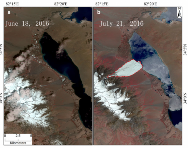
The Journal of Glaciology recently published the first account from scientists at the Institute of Tibetan Plateau Research of the Chinese Academy of Sciences (ITPCAS) concerning a glacier that collapsed on July 17, 2016, killing nine local...

Wednesday, December 7th, 2016
On Dec. 7, 2016, the Indian Space Research Organisation (ISRO) Polar Satellite Launch Vehicle successfully took of from the Satish Dhawan Space Center and placed ISRO’s RESOURCESAT-2A remote-sensing satellite into orbit. The satellite weighs 1,235 kilograms and...
Monday, November 28th, 2016
The Indian Space Research Organization (ISRO) North Eastern Space Applications Centre (NE-SAC) is using unmanned aerial system (UAS), or drone, technology for large-scale mapping and real-time assessment and monitoring activities for various applications. NE-SAC designed and assembled...
Monday, November 14th, 2016
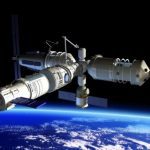
The BRICS states, which consist of Brazil, Russia, India, China and South Africa, agreed to create a joint satellite constellation for Earth remote sensing, according to Igor Komarov, director general of Roscosmos, the Russian State Space Corporation....
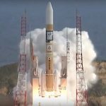
Tuesday, November 8th, 2016
On Nov. 2, 2016, Mitsubishi Heavy Industries and the Japan Aerospace Exploration Agency (JAXA) successfully launched the geostationary meteorological satellite Himawari-9 from the Tanegashima Space Center. The launch vehicle flew as planned, and at approximately 27 minutes...
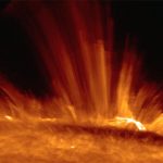
Wednesday, November 2nd, 2016
Although solar energy sources are located at the core of the Sun, the temperature of the upper part of the solar atmosphere (i.e., chromosphere and corona) is higher than that of the visible surface (i.e., photosphere). The...
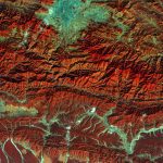
Monday, October 24th, 2016
The European Space Agency (ESA) Copernicus Sentinel satellite captured this false-color image of part of Nepal, including its capital city, Kathmandu, and the Himalayan foothills. Vegetation appears red, while waterways and buildings appear light green and blue....
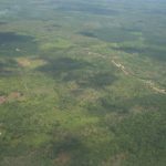
Monday, October 17th, 2016
An extensive study presented in Nature Communications mapped the effects of small farmers on the rainforests of Southeast Asia, and findings are discouraging with regard to environmental impact, biodiversity and the economy. Similar studies focused on large-scale...

Wednesday, October 5th, 2016
One of Nepal’s most-iconic buildings and a UNESCO World Heritage site, which was heavily damaged by the M-7.8 earthquake in 2015, is set to be repaired and structurally strengthened, according to the U.S. Ambassadors Fund for Cultural...

Tuesday, October 4th, 2016
Every year, about 8 million tons of plastic enters the oceans. Part of the trash accumulates in five ocean garbage patches, and plastic in these patches breaks down into tiny plastic particles that can be eaten by...