
Friday, March 9th, 2012
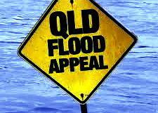
Australia is once again experiencing flooding and it is expected that flooding will result in nearly $1 billion of damage. Although waters have receded in some places, more rains are expected over the next few days and...
Thursday, March 8th, 2012
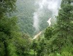
The mountainous kingdom of Bhutan, whose economy relies heavily on agriculture and forestry, began an ambitious National Forest Inventory project in 2010 to capture comprehensive data on forest cover and resources. The country's supreme law maintains that...

Thursday, March 1st, 2012
Digital airborne cameras have been available on the market for use globally for many years, Without doubt they provide high quality results, have nurtured and created capacity for supporting information gathering through to processing and distribution. By...
Thursday, March 1st, 2012
Solar flares and other space phenomenon can quickly impact communications, electronic systems and GNSS operations on earth. The South Korean government has initiated a new space weather system that will provide up-to-date information about space weather for...

Friday, February 24th, 2012
Real water we all know about, but virtual is something many of us may not be familiar with. Scientists have conducted research that aims to understand the available water for use on the planet, and the virtual...
Thursday, February 23rd, 2012
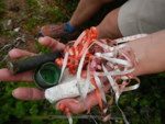
Scientists from Australia’s national science agency, Commonwealth Scientific and Industrial Research Organisation (CSIRO), are setting out to survey Australia’s 35,000-kilometre coastline to measure marine debris and its impact on sea life. The work is part of the...

Thursday, February 16th, 2012
Research into making Global Positioning Systems (GPS) more reliable and accurate has turned to camera technology and mathematical algorithms that its creator says will make navigation cheaper and simpler. The research is being done by Dr. Michael...
Thursday, February 9th, 2012
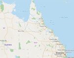
The Queensland government has recently provided a Community Intelligence Map (CIM) that provides a portal for the public to search for information when disasters happen. The map is an adjunct of the Total Opeartional Mapping (TOM) system...