
Tuesday, August 9th, 2016
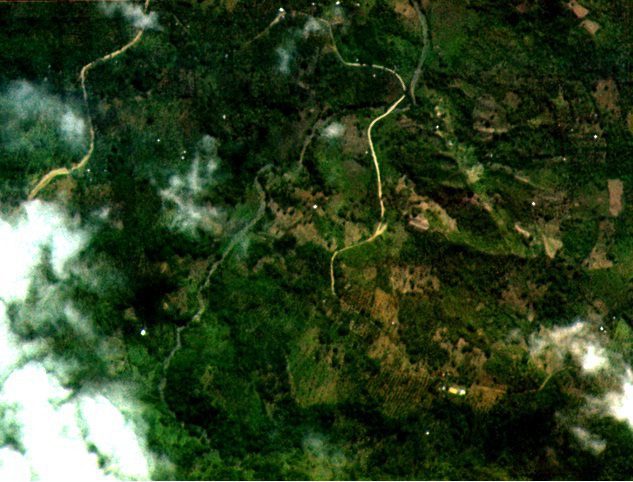
Diwata-1, the Philippines’ first microsatellite, collected and returned test images of some portions of Dumingag town in Zamboanga del Sur, a mountainous area in Mindanao, according to an attached agency of the country’s Department of Science and...
Tuesday, August 2nd, 2016
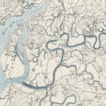
According to an article in National Geographic, eight years ago, Stanford graduate student Meiyu Hsieh stumbled across an uncataloged archive of 8,000 military maps captured from Japan toward the end of World War II. Stylistically, the...
Monday, July 18th, 2016
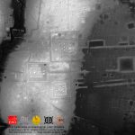
Much of Angkor has become a tangle of jungles and small farms with little evidence of medieval settlements beyond the moats' precise edges. Much of what has remained of Angkor's homes and other non-religious structures are the...

Tuesday, March 29th, 2016
Urban areas will play a critical role in achieving sustainable development and combating climate change. Many cities have already taken bold steps to reduce their environmental footprint, and have often been able to do so much more...
Monday, February 15th, 2016
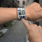
Researchers at the University of California, Riverside have developed a new, more computationally efficient way to process data from the Global Positioning System (GPS), to enhance location accuracy from the meter-level down to a few centimeters. The...
Friday, February 12th, 2016
CPI Indonesia has published a short paper on the role of international development partners in financing mitigation and adaptation actions in the land use sectors in Indonesia. The study builds on the 2014 Landscape of Public Climate...

Thursday, December 3rd, 2015
PARIS, Dec. 1, 2015—Google Maps and FAO have agreed to work closely together to make geospatial tracking and mapping products more accessible, providing a high-technology assist to countries tackling climate change and much greater capacity to experts...

Thursday, September 10th, 2015
By Mr. Poh Fatt Mak, Business Line Manager (3D Documentation), Asia Pacific, FARO Technologies 3D Documentation is the act of capturing accurate three-dimensional (3D) geometry and images of real objects, reproducible at a certain point in time,...
Thursday, August 13th, 2015
Crowdsourcing has added a new dimension to Nepal’s disaster response capability following the massive earthquake that struck this Himalayan country on 25 April, killing more than 8,000 people, injuring thousands and leaving tens of thousands displaced. Government...

Wednesday, August 12th, 2015
Geographic information about people and the planet is critical to making better decisions and using resources more wisely, and will be vital to achieving the new Sustainable Development Goals that countries have recently agreed on, according to...