

Tuesday, July 24th, 2018
When Kilauea started to erupt on the Big Island of Hawaii on May 3, 2018, Brennan O’Neill knew he had to do something. As the Hawaiian branch manager of Frontier Precision, he was in a unique position...
Tuesday, July 17th, 2018
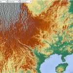
Planet signed a deal with the Geo-Informatics and Space Technology Development Agency (GISTDA), an agency under Thailand’s Ministry of Science and Technology, to provide satellite imagery to enable frequent monitoring in the country. Planet will provide GISTDA...
Tuesday, July 10th, 2018
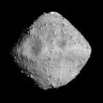
Japan Aerospace Exploration Agency (JAXA) confirmed that Hayabusa2, JAXA’s asteroid explorer satellite, rendezvoused with Ryugu, the target asteroid. On June 27, 2018, JAXA operated Hayabusa2 chemical propulsion thrusters for the spacecraft’s orbit control. Confirmation of the rendezvous...
Wednesday, July 4th, 2018
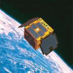
Maya-1, the Philippines’ first cube satellite (CubeSat), was flown into space aboard the SpaceX Falcon-9 CRS 15 rocket launched on June 29, 2018, from Cape Canaveral, Fla. Measuring 10 cubic centimeters and weighing about 1 kilogram, the...
Tuesday, June 26th, 2018
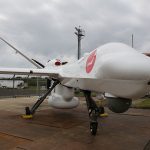
General Atomics Aeronautical Systems Inc. (GA-ASI) announced that the Guardian Remotely Piloted Aircraft (RPA) concluded the first large-scale demonstration flights in Japan. The demonstration flights, which took place from May 10-23, 2018, were intended to promote the...
Sunday, June 17th, 2018
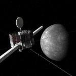
JAXA selected MIO as the new name for the Mercury Magnetospheric Orbiter (MMO) to be launched this Japanese fiscal year. The selection process was based on public response to the MMO renaming project made during the designated...
Tuesday, June 12th, 2018
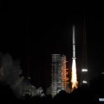
On June 5, 2018, China launched Fengyun-2H, a meteorological satellite that will be placed in a geosynchronous orbit. The launch took place using the three-stage rocket Long March 3A from Xichang Satellite Launch Centre in Sichuan Province....
Tuesday, June 5th, 2018
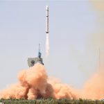
On June 2, 2018, China launched a new Earth observation satellite, Gaofen-6, which will be mainly used in agricultural resources research and disaster monitoring. The Gaofen-6 was launched on a Long March-2D rocket from the Jiuquan Satellite...

Tuesday, May 29th, 2018
As recently announced by the Australian Department of Defence, unmanned aerial systems (UAS) will soon be rolled out to Australian Army soldiers in Brisbane following the completion of the Black Hornet Nano UAS Program. The Black Hornet...
Tuesday, May 22nd, 2018
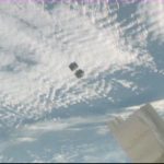
On May 11, 2018, the first CubeSat developed under the KiboCUBE program was successfully deployed from the Japanese Experiment Module “Kibo” of the International Space Station. 1KUNS-PF was developed as Kenya’s first satellite, and the University...