Tuesday, May 15th, 2018
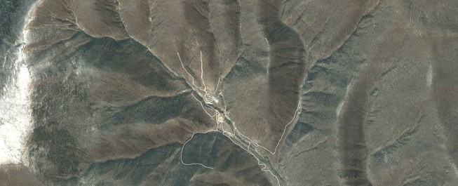
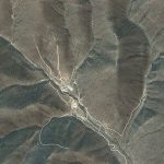
An underground test of what was claimed by North Korea to be a hydrogen bomb shook the surrounding landscape so violently that it changed the shape of an entire mountain. Radar analysis of the area revealed changes...
Tuesday, May 8th, 2018
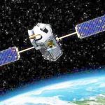
In the 2018-2019 fiscal year, the Pakistani government will spend more than $40 million on its Space and Upper Atmosphere Research Commission (SUPARCO), the country's space agency, including launching new satellites. In 2011, Islamabad spent about $35...

Tuesday, May 1st, 2018
The China Academy of Sciences (CAS) announced that China and Finland signed an agreement to establish a joint research center for Arctic space observation and data sharing services. The agreement, signed on April 8 by Liu Jianbo,...

Tuesday, April 24th, 2018
On April 11, 2018, JAXA President Hiroshi Yamakawa met with Bhutan Prime Minister H.E. Tshering Tobgay. Bhutan’s first small satellite (developed under the BIRDS Project of Kyu-tech University) is expected to be deployed from the Japanese Experiment...

Tuesday, April 17th, 2018
Esri entered a collaborative agreement with Alibaba Cloud, the cloud computing arm of the Alibaba Group, that will enable both organizations to deliver enhanced options to customers seeking to implement Esri technology on Alibaba Cloud. Esri President...
Monday, April 9th, 2018
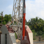
The 21st flight of ISRO’s RH300 Mk-II Sounding Rocket was launched on April 6, 2018, from the Thumba Equatorial Rocket Launching Station (TERLS), VSSC, Thiruvananthapuram. In this launch, the single-stage indigenous Sounding Rocket successfully expelled the chemical...
Tuesday, April 3rd, 2018
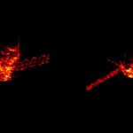
A defunct Chinese space station plummeted through Earth's atmosphere on April 1, 2018, and officials said debris from the 18,000-pound spacecraft landed in the Pacific Ocean. In a statement, U.S. military officials said the Tiangong-1 space station...

Tuesday, March 27th, 2018
Australian scientists say a powerful ground-based laser targeting space junk will be ready for use in 2019, noting that there are hundreds of thousands of pieces of debris circling the Earth that have the potential to damage...

Tuesday, March 20th, 2018
On March 3, 2018, on the occasion of the International Space Exploration Forum (ISEF2), the Japan Aerospace Exploration Agency (JAXA) and the European Space Agency (ESA) held an Inter-Agency Meeting to discuss furthering their bilateral cooperation. In...
Tuesday, March 13th, 2018
A new satellite data sharing system, Việt Nam Data Cube, introduces a satellite image database for Vietnamese Earth observation satellite data users. “It aims to find valuable data architecture solutions for global users and enhance the role...