Monday, December 5th, 2022
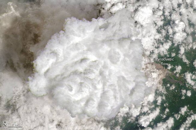
One year after Indonesia’s Mount Semeru unleashed a destructive eruption, the tallest and most active volcano on Java erupted again in early December 2022. Late on Dec. 3, 2022, a series of explosions from the summit crater...
Monday, November 21st, 2022
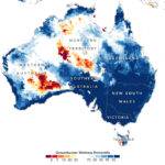
After an extremely wet October, southeast Australia continued to see heavy rainfall in November 2022. With soils already saturated and dams full, the latest storms have added to ongoing flooding across New South Wales and Victoria. In...
Friday, November 4th, 2022
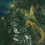
Storms stronger than Tropical Storm Nalgae lashed the Philippines in 2022, but the extreme rainfall unleashed by Nalgae in late October 2022 spurred landslides and flooding, making it among the season’s deadliest and most destructive storms to...
Tuesday, October 25th, 2022
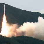
The Japan Aerospace Exploration Agency (JAXA) destroyed its Epsilon-6 rocket mid-flight on Oct. 11, 2022, resulting in the loss of eight commercial satellites that were included in the rideshare mission. JAXA sent out the self-destruct command to...
Monday, October 10th, 2022
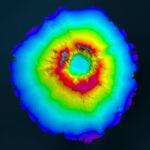
In April 2022, New Zealand’s National Institute of Water and Atmospheric Research (NIWA) and The Nippon Foundation announced a mission to discover the undersea impacts of the Hunga-Tonga Hunga-Ha’apai (HT–HH) volcanic eruption, which produced the biggest atmospheric...
Friday, September 23rd, 2022
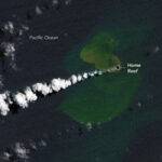
In the southwest Pacific Ocean, a seafloor ridge that stretches from New Zealand to Tonga has the highest density of underwater volcanoes in the world. On Sept. 10, 2022, one of them awoke. In the days since,...
Monday, September 12th, 2022
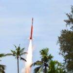
An IAD, designed and developed by VSSC, has been successfully test flown in a Rohini sounding rocket from TERLS, Thumba on Sept. 3, 2022. The IAD was initially folded and kept inside the payload bay of the...
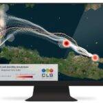
Friday, August 26th, 2022
In a hi-tech version of throwing out messages in bottles, prototype trackable buoys were deployed in the waters off Indonesia, whose myriad islands result in some of the most complex, unpredictable currents on Earth. Made from wood...
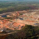
Friday, August 12th, 2022
Fleet Space Technologies announced the successful completion of a trial using its proprietary ExoSphere Ambient Noise Tomography (ANT) technology to faster and non-invasively find critical lithium deposits. This was commissioned by Australia’s newest lithium miner, Core Lithium,...

Monday, August 1st, 2022
ISRO participated in Digital India: Catalysing New India Techade event organized by the Ministry of Electronics and Information Technology (MeitY) from July 4-10, 2022, at Gandhinagar. During the event, ISRO showcased its important contributions toward providing space-based...