Tuesday, October 5th, 2021
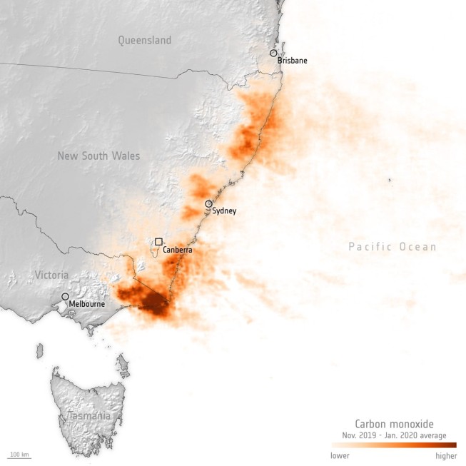
Australia is no stranger to bushfires, but the 2019-2020 season proved to be unprecedented. In southeast Australia, the fires were both intense and extensive. As much as 74,000 square kilometers of mostly eucalyptus forest, roughly 2.5 times...
Tuesday, September 21st, 2021
For decades, NASA has used the vantage point of space, combined with airborne and ground-based field campaigns, to decipher the impact of air pollution and help other agencies protect people when unhealthy air threatens the places...
Tuesday, September 7th, 2021
Food security—the consistent availability and affordability of food—is a basic human need, yet it remains elusive for billions of people around the world. The United Nations’ 2021 State of Food Security and Nutrition in the World report,...

Wednesday, August 25th, 2021
Months before the world turned its eye toward Tokyo for the 2020 Summer Olympics, an astronaut on the International Space Station captured this image of the Japanese megacity. The photograph offers a distinctive, high-resolution view of the...
Tuesday, August 10th, 2021
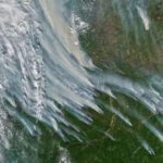
As soon as the snow began melting in May 2021, fires broke out in the Republic of Sakha (Yakutia) in eastern Russia. During the spring and summer, blazes have proliferated and intensified. By August, fires had consumed...
Tuesday, July 27th, 2021
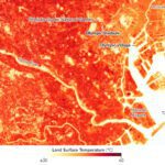
As the 2020 Olympic Games opened in late July 2021, Tokyo was in the midst of a humid heat wave that pushed temperatures above 34°C (93°F) several days in a row. For meteorologists and climatologists, the arrival...
Tuesday, July 13th, 2021
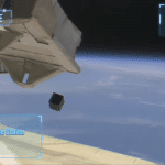
On June 22, 2021, the CubeSat MIR-SAT1, developed by the team of Mauritius Research and Innovation Council (MRIC), was successfully deployed from the Japanese Experiment Module “Kibo” of the International Space Station (ISS). This deployment was supported...
Tuesday, June 29th, 2021
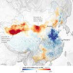
Early in the COVID-19 pandemic, it became clear from satellite observations and human experience that the world’s air grew cleaner. But new research shows that not all pollutants were taken out of circulation during societal lockdowns. In...
Thursday, June 10th, 2021
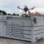
Singapore’s national water agency PUB is deploying autonomous drones at six of the country’s reservoirs to monitor water quality and other activities following trials in 2020. The Beyond Visual Line of Sight (BVLOS) drones, which can be...
Friday, May 14th, 2021
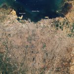
With global temperatures rising and ice sheets melting, plenty of coastal cities face a growing risk of flooding due to sea level rise. Few places, however, face challenges like those in front of the Jakarta metropolitan area,...