Monday, November 23rd, 2020
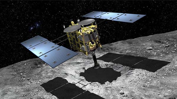
Japan Aerospace Exploration Agency’s (JAXA) Hayabusa2 sample-return capsule, which may lead to answers to the origin of life on Earth, will land in Woomera, South Australia, on Dec. 6, 2020. The capsule contains samples collected from primordial...
Tuesday, November 10th, 2020
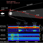
The Japan Aerospace Exploration Agency (JAXA) and European Space Agency (ESA) measured the trajectory of the Mercury Magnetospheric Orbiter, known as “Mio,” and the Mercury Planetary Orbiter (MPO) following the Venus flyby on Oct. 15, 2020. The...
Tuesday, October 27th, 2020
Designed and developed in Adelaide, South Australia, Silentium’s MAVERICK S-series is the first commercial-scale passive radar system for surveillance of space and will provide persistent detection and tracking of objects in low-earth orbit to support space traffic...
Monday, October 12th, 2020
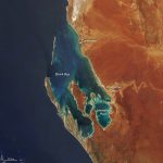
William Dampier was not a typical pirate. Between pillages, the curious English sailor took detailed notes about local wildlife and even collected plants—some of which are still preserved today—on his voyages around the world. His travel logs...
Monday, September 28th, 2020
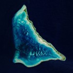
The Republic of Kiribati is an independent island nation consisting of some 33 atolls near the equator in the central Pacific. The islands are spread over approximately 3.5 million square kilometers of ocean, but with a total...
Tuesday, September 15th, 2020
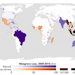
Using high-resolution data from the joint NASA-U.S. Geological Survey Landsat program, researchers have created the first map of the causes of change in global mangrove habitats between 2000 and 2016—a valuable tool to aid conservation efforts for...
Monday, August 31st, 2020
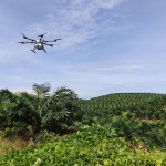
The Oryctes drone, which applies spray fluid with centimeter-level precision at the center of oil palms, was designed and developed by a Malaysian team over a 12-month period and is the latest development in agrotechnology that capitalizes...
Monday, August 17th, 2020
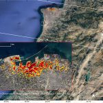
NASA’s Advanced Rapid Imaging and Analysis (ARIA) team, in collaboration with the Earth Observatory of Singapore, used satellite-derived synthetic aperture radar data to map the likely extent of damage from a massive Aug. 4, 2020, explosion in...
Tuesday, August 4th, 2020
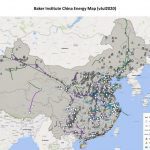
Rice University’s Baker Institute for Public Policy released its latest China Energy Map, an open-source, interactive chart of the country’s energy infrastructure. The map was created by Shih Yu (Elsie) Hung, a research manager at the Baker...

Tuesday, July 21st, 2020
China launched the Shiyan-6, its first modern scientific research vessel focusing on geophysical exploration and seismic acquisition and processing, in Guangzhou, South China's Guangdong Province. The launch is believed to be an important step in boosting the...