Asian Surveying & Mapping
Breaking News
Astranis clinches $115 million Taiwan deal despite satellite setback
TAMPA, Fla. — Astranis has signed a $115 million...
UAE and Egypt Strengthen Space Collaboration with New MoU
In a milestone development for Arab space collaboration, the...
Seoul launches 4th spy satellite to boost North Korea surveillance
South Korea’s military now operates an increasingly integrated cluster...
Indonesia seeks space defense cooperation with Japan’s military
Jakarta (ANTARA) - The Ministry of Defense of Indonesia...
China Launches 3 Astronauts To Its Space Station
The spacecraft Shenzhou-20 and the crew lifted off atop...
Former Isro chairman K Kasturirangan dies in Bengaluru at 84
Dr. Kasturirangan led the Isro, the Space Commission, and...
South Korea is converting an abandoned coal mine into a moon exploration testing ground
South Korea is transforming abandoned coal mines into testing...
ISRO to Launch Chandrayaan-5 With Japan, Plans Space Station
Dr. V. Narayanan, Chairman of the Indian Space Research...
Russia and China are threatening SpaceX’s Starlink satellite constellation, new report finds
SpaceX's Starlink satellite constellation is facing threats from Russia...
China and Pakistan agree to fly 1st foreign astronaut to Chinese space station
For the first time, the Chinese space program will train...
  • Oct 10, 2022
  • Comments Off on Teledyne Geospatial Partners with Seabed 2030 to Study Submarine Impacts of Volcanic Eruption in Tonga
  • Feature
  • 646 Views

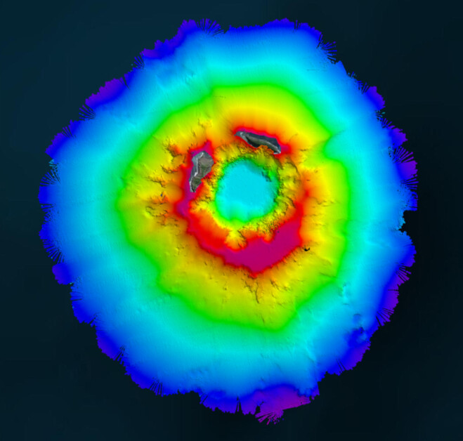
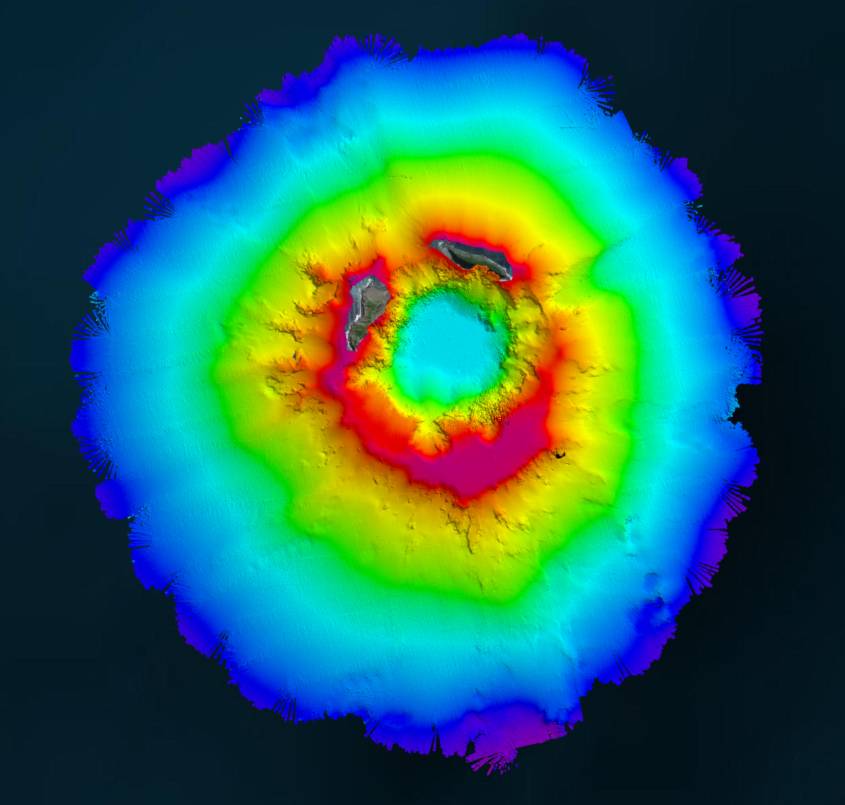
In April 2022, New Zealand’s National Institute of Water and Atmospheric Research (NIWA) and The Nippon Foundation announced a mission to discover the undersea impacts of the Hunga-Tonga Hunga-Ha’apai (HT–HH) volcanic eruption, which produced the biggest atmospheric explosion recorded on Earth in over a century. Supported by The Nippon Foundation-GEBCO Seabed 2030 Project, TESMaP had two phases, led by NIWA: phase one saw scientists survey the area around the volcano with RV Tangaroa. As part of phase two, SEA-KIT International’s Uncrewed Surface Vessel (USV) Maxlimer was used to conduct further mapping inside the caldera.

For the duration of TESMaP, Seabed 2030 and Nippon Foundation-GEBCO Ocean Mapping Fellows utilized software provided by Teledyne CARIS (based in Fredericton, New Brunswick)—a Seabed 2030 partner with over 40 years of experience in developing hydrographic and marine geospatial software. The software was integral to the project as they facilitated the monitoring of data quality and coverage, with new data being used for comparative studies against previous maps to assess the effects of the eruption on marine life and seafloor composition. Software provided by Teledyne CARIS will also be used to process the data to generate the final products.

Aerial view of HT-HH shows new multibeam depth data overlaid on a satellite image.