
Wednesday, April 20th, 2011
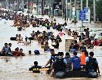
Philippine President Benigno Aquino has set asside P1 billion ($23.25 million) to create a 3D map of the entire country. The detailed map is part of an effort to guard and plan against disasters, with 66 provinces...
Tuesday, April 19th, 2011
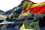
The ability to analyze, model and simulate natural disaster events and their consequences is unique to the geospatial and geomatics sector. No other tools provide data management, analysis and the associated visual output, useful for decision-making purposes...
Thursday, April 14th, 2011
 Recently, a national CORS network, called CORS-TR network has been established by Istanbul Kultur University in Turkey and Northern Cyprus. The project was sponsored by the...

Friday, April 1st, 2011
An innovative new online mapping portal that will mobilise communities to help protect koalas and their habitats was launched today by Esri Australia and the Australia Koala Foundation (AKF). The AKF’s KoalaMap lets visitors be part of...
Thursday, March 31st, 2011
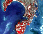
Recently there has been speculation that India's earth observation satellites have not been performing to expectation. The Comptroller and Auditor General for the country opened the door and stepped into the satellite industry and determined that several satellites...

Thursday, March 31st, 2011
A major threat to GNSS realiability comes from the sun. Solar-related phenomena, and their effect on the Earth's ionosphere, can cause disruptions in signal delivery, and there are little to no protections in current systems. As we...
Thursday, March 24th, 2011
The Delhi Assembly has just passed a bill that will centralize GIS and spatial data, and make geospatial technology central to all planning, utility services and infrastructure development in the state of Delhi, India. The Delhi Geo-spatial...