

Friday, August 19th, 2011
Turkey successfully launched the RASAT earth observation satellite this week. RASAT is a microsatellite imaging mission of TUBITAK-UZAY (Scientific and Technological Research Council of Turkey). It is expected that the satellite will help to provide information for disaster...
Thursday, August 11th, 2011
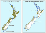
The government of New Zealand has announced a research programme today to use satellite imagery and geospatial mapping to map forests, pastures, rivers and cities across the country. The four-year Land Cover Research Programme was launched with...
Thursday, August 11th, 2011
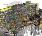
Building Information Modeling (BIM) provides many benefits. An increasing number of projects are now demanding BIM inclusion as the advent of new modeling and design technologies are coupling survey quality data into them, often providing 3D capabilities....
Thursday, August 11th, 2011
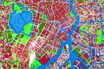
Land use planning forms the basis for sustainability and development. Several locations throughout Asia are involved in developing land use plans across local to national scales. Participation in these plans is a key aspect for improving their...

Monday, July 25th, 2011
Digital terrain models attempt to accurately measure and represent landscape elevation. They can be created using a variety of geomatics technologies including survey equipment, both airborne and space remote sensing, photogrammetry and even manually. These DTMs can...
Thursday, July 21st, 2011
With the recent announcement of the creation of the new country South Sudan, attention turned toward delineating the offical boundaries of the country. But was the task as easy as it sounded? A group consisting of cartographers,...

Wednesday, July 20th, 2011
The smart grid continues to develop in many countries. The benefits of the grid include improvements in balancing energy generation and distribution across large regions, greater understanding of energy needs and the ability to manage operations. As...