Tuesday, July 23rd, 2019
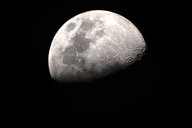
Chandrayaan-2 launched on July 22, 2019, from the Satish Dhawan Space Centre in India, and is one of the most-complex missions to date for the Indian Space Research Organization (ISRO), as it will be the first to...
Tuesday, July 16th, 2019
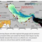
A major oil tanker expressway in the Persian Gulf once thought a low-risk area is actually a “highly vulnerable hotspot” for monster waves, new research reveals. Scientists were shocked when on a calm cloudy March day in...
Tuesday, July 9th, 2019
On July 6, 2019, the United Arab Emirates (UAE) launched its latest reconnaissance satellite, Falcon Eye 1, from the Guiana Space Centre. This is UAE’s 10th satellite in orbit and its fourth reconnaissance satellite, making it a...
Tuesday, July 2nd, 2019
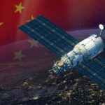
Chinese Ministry of Natural Resources has unveiled the details of the two sea-observing satellites HY-1C and HY-2B, which were launched in 2018 after they reached their designated orbit. The HY-1C and HY-2B are the highest level of...

Tuesday, June 25th, 2019
The Japan Aerospace Exploration Agency (JAXA) agreed to cooperate with the European Space Agency (ESA) on the X-Ray Imaging and Spectroscopy Mission: XRISM. Hiroshi Yamakawa, president of JAXA, and Johann-Dietrich Wörner, director general of ESA, signed the...

Tuesday, June 18th, 2019
Developed by Consilium Technology in Adelaide, South Australia, the Geospatial Artificial Intelligence for Agriculture (GAIA) analysis algorithm scans high-resolution satellite images of Australia’s wine regions to identify exactly where vineyards are located and how many vine rows...
Tuesday, June 11th, 2019
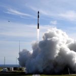
In a sign the Australian Space Agency is already opening up new doors for Australian industry, NASA says it will be launching rockets from Arnhem Space Centre, in Nhulunbuy in the Northern Territory, in 2020. Minister for...
Tuesday, June 4th, 2019
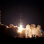
On May 22, 2019, India’s PSLV-C46 successfully launched the RISAT-2B satellite from the Satish Dhawan Space Centre (SDSC) SHAR in Sriharikota. PSLV-C46 was the 72nd launch vehicle mission from SDSC SHAR, Sriharikota. In this mission, the “Core-Alone”...
Tuesday, May 28th, 2019
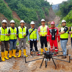
Terra Drone Indonesia successfully completed two pilot projects that demonstrate how construction companies can benefit from drone surveying and mapping services. Using drones equipped with Light Detection and Ranging (LiDAR) technology, Terra Drone Indonesia carried out survey-grade...
Monday, May 20th, 2019
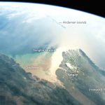
Using a short lens to give a wide view, an astronaut aboard the International Space Station (ISS) focused a camera on the 160-kilometer-wide Irrawaddy river delta. The Irrawaddy is the largest river in Burma (Myanmar) and the...