Asian Surveying & Mapping
Breaking News
Australian Space Agency funds development of aerospace-grade GNSS receiver
The Australian Space Agency has funded the development of...
Continuity risks for Australian EO data access
A new report details the widespread use of Earth...
China launches new remote sensing satellite
JIUQUAN, April 15 (Xinhua) -- China on Monday launched...
7.4-Magnitude Earthquake Strikes Taiwan
A major, 7.4-magnitude earthquake struck the eastern coast of...
Tata Deploys Its Geospatial Satellite In Space on Space X’s Falcon 9 Rocket
THIRUVANANTHAPURAM: Tata Company launched India's first private commercial satellite...
Taiwan’s Formosat-8 Satellite Set for Launch by 2025
The Taiwan Space Agency has announced progress on the...
Iranian Scientists to Build Satellite Constellation for 2 Simultaneous Missions
The scientists at the knowledge-based company had previously succeeded...
China provides geospatial intel and other military support to Russia, US says
The US has warned its European allies that China...
Japanese lunar lander company ispace raises $53.5 million in stock sale
WASHINGTON — Japanese lunar lander developer has raised $53.5...
Esri and Prince Sultan University Advance GIS Education Through Strategic Partnership
Memorandum of Understanding with Institution Enhances GIS Curriculum and...

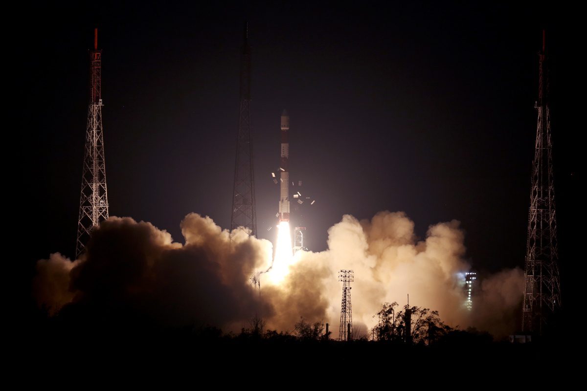
On May 22, 2019, India’s PSLV-C46 successfully launched the RISAT-2B satellite from the Satish Dhawan Space Centre (SDSC) SHAR in Sriharikota.

PSLV-C46 was the 72nd launch vehicle mission from SDSC SHAR, Sriharikota. In this mission, the “Core-Alone” configuration of PSLV was flown (without the use of solid strap-on motors).

About 15 minutes and 30 seconds after lift-off, RISAT-2B was injected into an orbit of 555 kilometers at an inclination of 37 degrees to the equator.

RISAT-2B, with a lift-off mass of 615 kilograms, is a radar imaging Earth-observation satellite intended to provide services to agriculture, forestry and disaster management.