Tuesday, December 11th, 2018
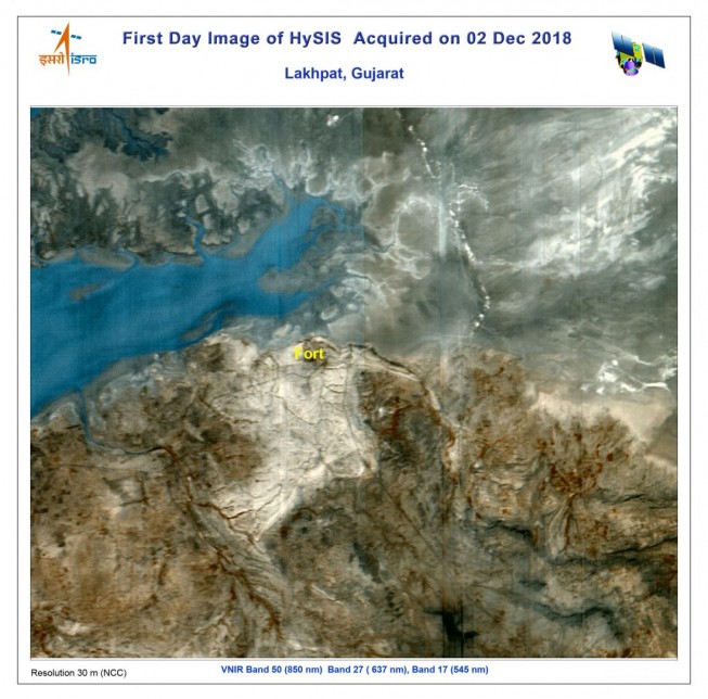
A PSLV-C43 rocket lifted off on Nov. 29, 2018, from the Satish Dhawan Space Centre SHAR, Sriharikota, and successfully launched India’s Hyper spectral Imaging Satellite (HysIS) and 30 international co-passenger satellites. HysIS is an Earth observation satellite...
Tuesday, December 4th, 2018
NewSpace company Southern Launch will begin developing the infrastructure to deploy nanosatellites from the Eyre Peninsula in South Australia. “We looked at sites from Western Australia to Victoria that were suitable for a southern launch and provided...
Tuesday, November 27th, 2018
On Nov. 19, 2018, China launched the final two BeiDou-3M satellites needed to provide basic Global Navigation Satellite System (GNSS) services on a global scale. The launch took place on a Long March-3B rocket from Xichang Satellite...

Tuesday, November 20th, 2018
Australia’s space and machine learning industries received a significant boost following the announcement of A$35 million in funding from its national science agency. The CSIRO investment will include the development of advanced imaging of Earth from satellites,...
Monday, November 12th, 2018
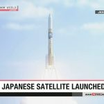
On Oct. 29, 2018, Japan launched a new satellite to observe greenhouse gases. Ibuki-2, also known as GOSAT-2, will survey carbon dioxide and other global warming gases with greater precision than its predecessor. An H2A rocket carrying...
Tuesday, November 6th, 2018
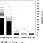
In March 2011, the Great Tohoku Earthquake and Tsunami devastated the Pacific Coast of Japan; however, the tsunami also had global implications. When water from the 40-meter waves that pounded the coastline finally receded, a lot of...

Tuesday, October 30th, 2018
TCarta was commissioned by Environment Agency–Abu Dhabi (EAD) to carry out a landmark mangrove health assessment covering the entire Emirate of Abu Dhabi. The assessment contains mangrove condition information derived from high-resolution multispectral satellite imagery. “The satellite-derived...
Tuesday, October 23rd, 2018
In the framework of GNSS cooperation between the European Union (EU) and Japan, a test was recently conducted of a GNSS-based global Emergency Warning Service using Japan’s Quasi-Zenith Satellite System (QZSS). The EU is looking into the...
Tuesday, October 16th, 2018
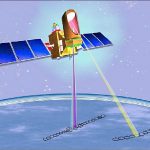
The Megha-Tropiques satellite was built by the Indian Space Research Organisation (ISRO) and the French National Centre for Space Studies (CNES) as a joint venture. The satellite is meant to study water cycle and energy exchanges in...

Tuesday, October 9th, 2018
The King Abdulaziz City for Science and Technology developed two new reconnaissance satellites, “Saudi Sat 5A” and “Saudi Sat 5B,” which will be added to the second generation of high-accuracy Saudi remote-sensing satellites to be launched in...