Tuesday, March 1st, 2022
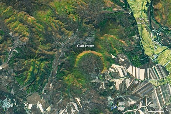
Despite China’s large land area, only one impact crater—the relatively small Xiuyan crater in Liaoning province—had been discovered there prior to 2020. Then, last year, a team of geologists found another crater northwest of Yilan in Heilongjiang...
Tuesday, February 15th, 2022
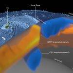
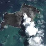
The cataclysmic explosion of the Hunga Tonga-Hunga Ha‘apai volcano in January 2022 is reported to have been the biggest eruption recorded anywhere on the planet in 30 years. It sent a plume of ash soaring into the...
Monday, January 31st, 2022
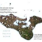
Ever since the uninhabited volcanic island Hunga Tonga-Hunga Ha‘apai exploded in mid-January 2022, the people of Tonga have faced a gauntlet of hazards. One of the most widespread is volcanic ash. Satellite images collected in the days...
Tuesday, January 18th, 2022
On the Pacific island nation of Tonga, significant damage was being reported days after a huge undersea volcanic eruption and tsunami. New Zealand's military is sending much-needed drinking water and other supplies, but said the ash on...
Tuesday, January 4th, 2022
The National Space Science Symposium 2022 is scheduled to be held between Jan. 31, 2022, and Feb. 4, 2022, with IISER Kolkota as hosting institute. NSSS-2022 is a platform to provide a scientific forum for the presentation...
Monday, December 13th, 2021
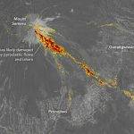
Mount Semeru, the tallest and most active volcano on the Indonesian island of Java, has routinely spit up small, mostly harmless plumes of ash and gas for years. The circumstances changed on Dec. 4, 2021. Following a...
Tuesday, November 30th, 2021
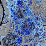
Dark areas represent permanent water bodies or fields frequently or always covered by water, for example rice fields. Different shades of blue represent the flood occurrences frequency estimated from the Copernicus Sentinel-1 data archive (light blue: less...
Tuesday, November 16th, 2021
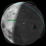
A very close conjunction between Chandrayaan-2 Orbiter (CH2O) and Lunar Reconnaissance Orbiter (LRO) of NASA was expected to occur on Oct. 20, 2021, near the Lunar North pole. During a span of one week prior, analyses by...
Tuesday, September 20th, 2016
On Sept. 8, 2016, Yuichi Yamaura, vice president of the Japan Aerospace Exploration Agency (JAXA), and H.E. Cihan Kanlıgöz, director general of Aeronautics and Space Technologies, Ministry of Transport, Maritime Affairs and Communications of the Republic of...

Wednesday, September 14th, 2016
The Japan Aerospace Exploration Agency (JAXA) interviewed Kenichi Shishido, who is in charge of forestry and conservation projects at the Japan International Cooperation Agency (JICA), an independent administrative institution that coordinates official development assistance for the government...