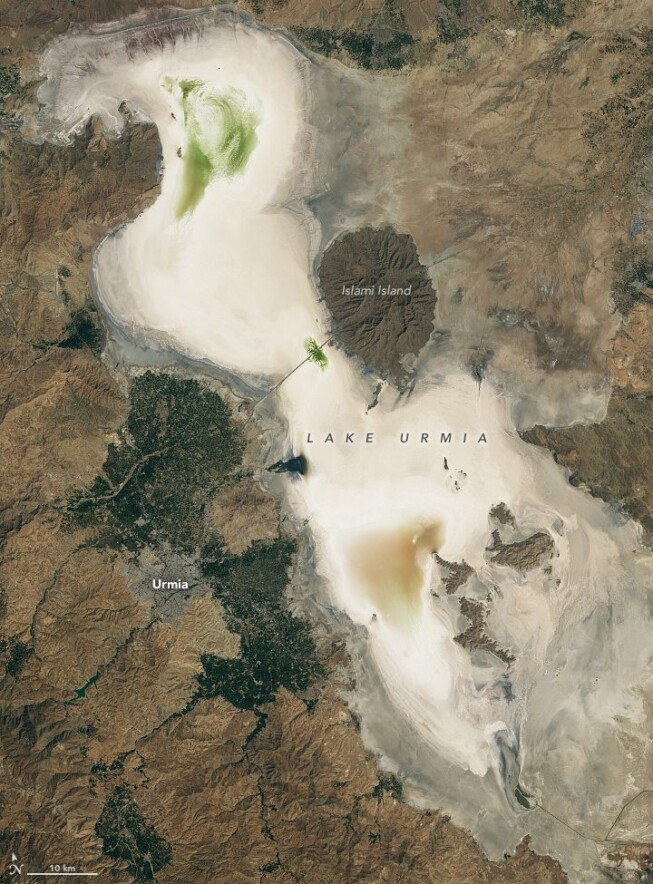
Tuesday, October 10th, 2023
After rapidly growing in volume just a few years earlier, northwest Iran’s Lake Urmia nearly dried out in autumn 2023. The largest lake in the Middle East and one of the largest hypersaline lakes on Earth at its greatest...

Monday, September 25th, 2023
An international team led by Purdue University scientists created the first spatial database of planted forests in East Asia by combining data collected onsite and via satellite. Produced with the assistance of artificial intelligence, the database contains...
Monday, September 11th, 2023
In the Himalayas, not far from the base of Mount Everest, lies the Imja-Lhotse Shar Glacier, where David Rounce conducted his doctoral research. From 2013 to 2017, Rounce and his team visited Nepal to measure the glacier...
Monday, August 28th, 2023
Protecting against flooding on islands requires reliable measurements of how much the ground is sinking and where, noted Jeanne Sauber, a geophysicist at NASA’s Goddard Space Flight Center in Greenbelt, Md. “You need to know in detail...
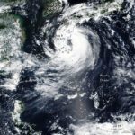
Friday, August 11th, 2023
After charting a zigzagging path that delivered damaging winds and rain to Japan’s Ryukyu Islands, Tropical Cyclone Khanun brushed Kyushu and began heading toward the Korean Peninsula. The Visible Infrared Imaging Radiometer Suite (VIIRS) on the NOAA-NASA Suomi NPP satellite...

Monday, July 31st, 2023
An astronaut aboard the International Space Station took this nighttime photograph of the coastal Mediterranean city of Antalya, Türkiye, in Asia. Located on the southern coast of Türkiye, Antalya is the largest city in this view. The...
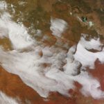
Monday, July 17th, 2023
An unusual collection of clouds appeared over the interior of Australia on the morning of July 5, 2023. The Moderate Resolution Imaging Spectroradiometer (MODIS) on NASA’s Terra satellite captured this image of the stunning display, which stretched for more than 1,000...
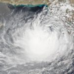
Thursday, June 15th, 2023
After stirring in the Arabian Sea for more than a week, Cyclone Biparjoy neared the coastline of western India and southern Pakistan in June 2023. The Visible Infrared Imaging Radiometer Suite (VIIRS) on the NOAA-20 satellite acquired this natural-color image of...
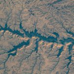
Tuesday, June 6th, 2023
Wadis, or river valleys that are dry in winter months, in Yemen were pictured by UAE (United Arab Emirates) astronaut and Expedition 69 Flight Engineer Sultan Alneyadi from the International Space Station as it orbited 256 miles...
Monday, May 22nd, 2023
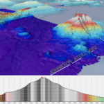
The Ocean Exploration Trust (OET) 2023 Expedition Season has officially begun. Underway now, its first expedition (NA149) utilizing remotely operated vehicles (ROVs) returns to U.S. waters surrounding Kingman Reef and Palmyra Atoll, home to some of the...