Asian Surveying & Mapping
Breaking News
APAC region gaining local access to ScanFish ROTV rental and support
Singapore 15 January 2025 With a rapid increase in...
Space42’s Thuraya 4 Satellite Successfully Launched Into Orbit
ABU DHABI, UAE and CAPE CANAVERAL, Fla. —   Space42 (ADX:...
SIIS Signs MOU with Pixxel to Introduce Hyperspectral Satellite Data in Korea
Seoul, South Korea; Jan. 7, 2025: SIIS Co., Ltd....
ISRO Launches Historic SpaDeX Mission for Space Docking
ISRO successfully launched the SpaDeX mission on December 30,...
Chinese firm deploys satellite-to-ground laser communications, outpacing Starlink
A Chinese firm has surpassed Starlink by deploying satellite-to-ground...
SpaceX’s First Launch In 2025 To Be For UAE-Based Space Tech Company
Elon Musk’s rocket manufacturing company SpaceX is eyeing launching into space for...
ISRO PSLV-C60 SpaDeX Mission LIVE: India All Set For Gamechanger Launch, Countdown Begins
ISRO is set to launch PSLV-C60 with SpaDeX tonight...
Japan’s space agency delays satellite launch on new H3 rocket due to weather
Japan’s space agency has said its planned launch of...
Chinese company completes ultra-high-speed remote sensing image laser transmission test
BEIJING,- A commercial Chinese satellite company has conducted an...
Space42 and ICEYE Announce Joint Venture to Bring Satellite Manufacturing to the UAE
ABU DHABI, UAE —  Space42 (ADX: SPACE42), a UAE-based...

Top Story

image

Tuesday, November 8th, 2016

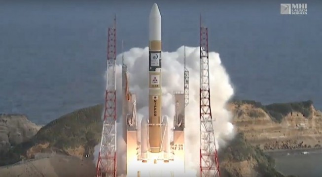
Japan’s Himawari-9 Earth-Observation Satellite Successfully Launched

On Nov. 2, 2016, Mitsubishi Heavy Industries and the Japan Aerospace Exploration Agency (JAXA) successfully launched the geostationary meteorological satellite Himawari-9 from the Tanegashima Space Center. The launch vehicle flew as planned, and at approximately 27 minutes...
Wednesday, November 2nd, 2016

Japanese Research Team Uncovering Sun’s Mysteries

Although solar energy sources are located at the core of the Sun, the temperature of the upper part of the solar atmosphere (i.e., chromosphere and corona) is higher than that of the visible surface (i.e., photosphere). The...
Monday, October 24th, 2016

Satellite Captures Kathmandu and Greater Nepal Overcoming 2015 Earthquake

The European Space Agency (ESA) Copernicus Sentinel satellite captured this false-color image of part of Nepal, including its capital city, Kathmandu, and the Himalayan foothills. Vegetation appears red, while waterways and buildings appear light green and blue....

Page 4 of 4 1 2 3 4