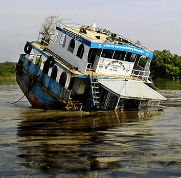

The Save the Sundarbans website was quickly stood up for the sharing of iformation. Thousands of concerned people joined and the group was quickly working with the Environment Ministry of Bangladesh, USAID and the Nishorgo network to assess the damage and assis with oil spill management.
The mapping of the damages from the spill was done by an onsite team that coordinated with UN teams.
Students from Shahjalal University of Science and Technology used a drone to help map the environmental damage. The quadcopter with a camera was able to get above the mangrove forest terrain, which is difficult to navigate on foot, to take pictures of the damage.
The sundarbans are home to rare Bengal tigers and freshwater dolphins.
View of map of the damage on the UNOSAT site here: https://www.flickr.com/photos/worldworldworld/15883933638/