When no human had walked the moon’s surface, the goal to place a person on the moon became a major driver to space innovation and advanced exploration in space. Many oceanographers lamented on the fact, that while that emphasis would no doubt be valuable, we knew little about the ocean and what existed below the ocean surface in most parts of the world. Indeed, even in this year alone many new species have been identified and the true biodiversity existing below the surface has begun to be revealed.
The Japan Times reported this week that a new submersible vessel is being built by China, with the express purpose of exploring the Pacific. The Jiaolong will embark on a journey to 4,000 meters in depth at first, to be followed on later trips to depths nearing 7,000 meters.
“China says one of its main aims is to be in prime position to explore and exploit what experts say is a treasure trove of trillions of dollars of gold, copper, lead, zinc, nickel, manganese, cobalt, iron and other minerals in rich reserves on the seabed of the ocean, which covers more than two-thirds of Earth’s surface with an average depth of 4,000 metres,” reports the newspaper.
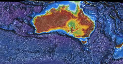
The exploration of oceans around the world is not new, but this initiative would be reaching places never before seen, touched nor exploited previously. For example, Reef Education Network in Australia works to explain information about the Great Barrier Reef, it’s understanding and challenges. NOAA has also been involved in mapping the world’s oceans. Google Ocean provides tools for understanding and exploring oceans, and Fugro has been involved in ocean mapping, charting and exploration, providing engineering and infrastructure related services for projects involving submersed cabling, vessel tracking and hydrographic services. A new Ocean Basemap has also recently been released by Esri.
While many geospatial tools and technologies are being widely used for ocean exploration and mapping, in 2D, 3D and 4D – a turn to deep natural resource exploitation opens a new door.
Industry within the world’s oceans is not new. Fisheries have long existed, oil and gas exploration in shallow and deep waters have been pursued and water desalinzation has a long history. Under sea tunnels, dredging and a host of other activities have also been accomplished.
But deep ocean exploration for the purposes of mining remains new. The first step, as China begins to explore new depths, is to learn and understand what exists on the bottom of the ocean round the world. A logical second step would be to develop a workable integrated strategy reflecting conservation, preservation and exploitation goals, particularly involving parties in contested waters.
Just as space junk and orbits need to be monitored, regulated and managed. So too, it would seem, must similar approaches be used in the world’s oceans, and this is where agencies like the International Oceanography Commission (IOC) come into play.
