
Wednesday, February 1st, 2017
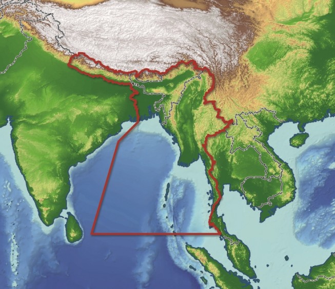
Getech recently released an in-depth report aimed at providing insight into the geology of Myanmar and the surrounding regions. Exploration teams who have access to this report are expected to benefit from understanding the tectonic and geological...
Wednesday, February 1st, 2017
Getech, providers of natural resources exploration data and information expertise, has released an informative and in-depth report aimed at providing insight into the geology of Myanmar and the surrounding regions. Regional Reports, written by Getech’s expert geologists...
Wednesday, February 15th, 2012
Golden Software, Inc. announces the release of Strater 3, a powerful, user-friendly upgrade to Strater, a well log, borehole and cross section plotting software package for geoscientists. Strater 3 enables users to quickly create professional well logs,...

Wednesday, October 26th, 2011
The Union Cabinet has passed a proposal to restructure the Geological Survey of India (GSI) this week. The 'right sizing' effort aims to play on the strengths of the GSI while slowing replacement of posts over a...
Saturday, August 13th, 2011
VSG, Visualization Sciences Group, and Xradia Inc. today announced they have signed an OEM partnership agreement. Xradia will offer VSG’s Avizo Fire software as their primary product offering for high-end 3D visualization and analysis that is used...
Wednesday, April 20th, 2011
Paradigm has integrated the 3D multiple point statistics simulation module based on Ephesia’s IMPALA algorithm in the latest version of Paradigm™ SKUA. This module complements the large selection of geostatistical and analytical capabilities of the SKUA Reservoir...
Wednesday, April 20th, 2011
The scale of Japan's March 11 earthquake and tsunami wasn't the only thing that surprised geologists. The 9.0 earthquake in Japan — the fourth most powerful quake ever recorded — also caused an unusually severe and widespread shift in soil...
Thursday, July 29th, 2010
Geological surveying has its roots in economic development, mapping natural resources and energy sources for industry exploitation and monetary gain. The monetary aspects of this mapping effort have meant a reluctance...