Asian Surveying & Mapping
Breaking News
Neo Space Group Completes Acquisition of UP42 from Airbus Defence and Space
Neo Space Group (NSG) has officially finalized its acquisition...
Launch of Australia’s 1st orbital rocket, Gilmour Space’s Eris-1, delayed again
Update for 6:15 p.m. ET on July 1: Gilmour Space...
SAASST, UAE Space Agency strengthen scientific partnership
SHARJAH- Prof. Hamid M.K. Al Naimiy, Director of the...
Shubhanshu Shukla to speak to students and ISRO scientists this Friday
Indian astronaut Shubhanshu Shukla will interact with school students...
ISRO hands over 10 advanced technologies to Indian firms in major push for space commercialisation
The Indian Space Research Organisation (ISRO) has transferred ten...
DIGIPIN Launched: India Embraces Geospatial Precision in Digital Addressing
IIT Hyderabad (IITH), in partnership with the Department of...
HAL to build, market Isro’s SSLV in landmark deal
New Delhi, Jun 20: In a historic move for...
Taiwan developing space capabilities for all-weather imaging
TAIPEI (TVBS News) — Taiwan is advancing its space...
Honda hails successful test of reusable rocket as it looks to get into the space business
Tokyo — Japan's second-biggest carmaker, Honda, has successfully tested...
China’s space program provides larger platform for broader international cooperation
BEIJING -- Experts from China's manned space program said...
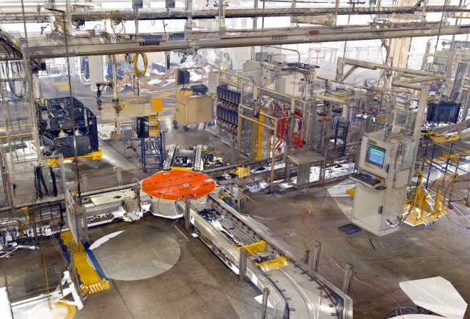
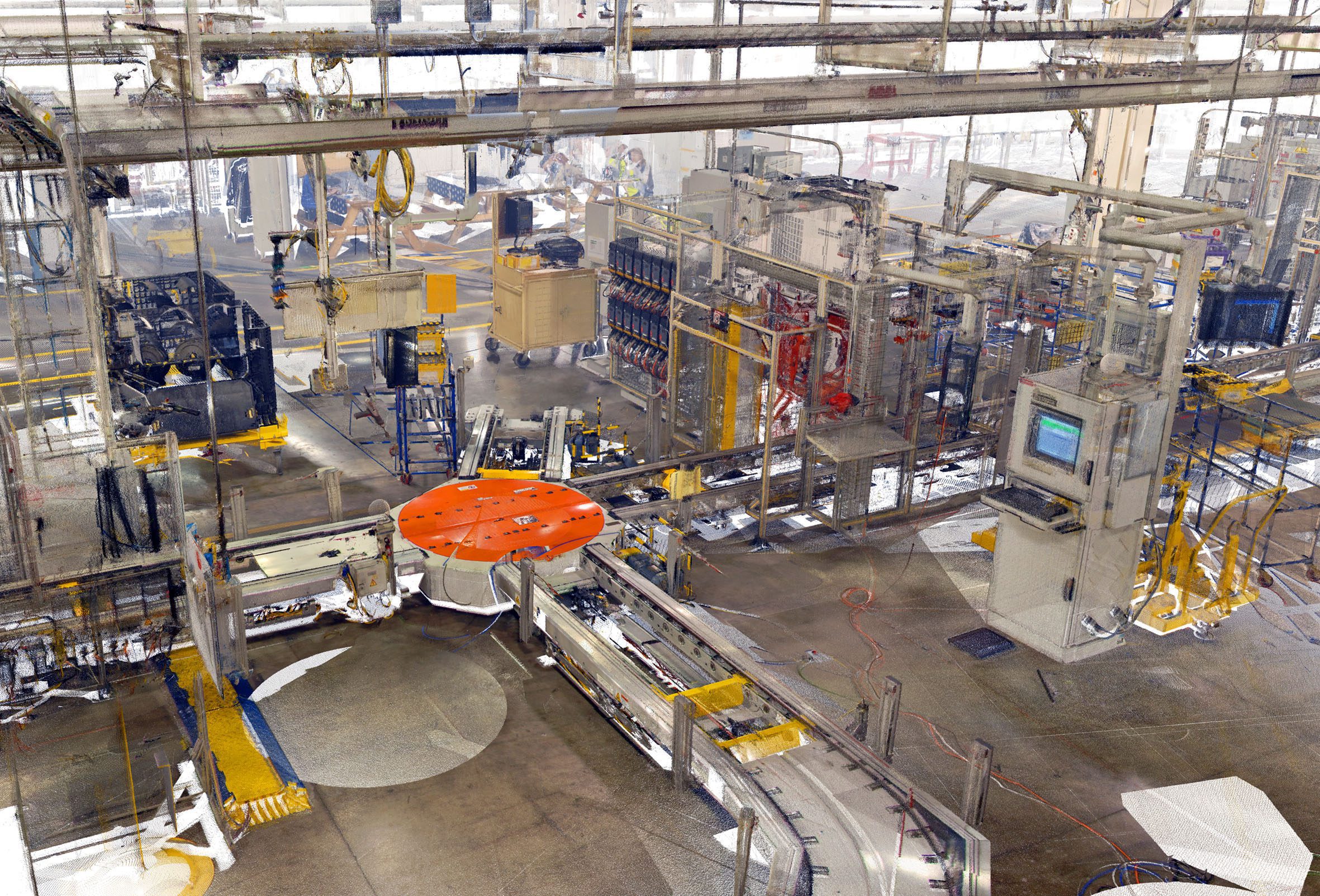
Pointools Ford Plant Laser Scan

“By packaging these applications and plug-ins in a cost effective bundle, we are making it easier for project teams to work with 3D laser scan data inside their preferred CAD application environments,” commented Joe Croser, VP of Products at Pointools. “For a very competitive price, users can now convert raw point data into detailed 3D point cloud models. They can process and edit point clouds to generate high-definition movies, and they can reuse the same point cloud models inside a broad range of Autodesk, Rhino, and Google SketchUp apps.”

Pointools Suite includes Pointools POD Creator (to convert the broadest range of 3D laser scan formats), Pointools Edit (for selecting, editing, segmenting, and animating the largest point cloud models), and Pointools Plug-ins for Rhino, Google SketchUp, and Autodesk applications including AutoCAD, Civil 3D, Architecture, Map 3D, and Land Desktop. 

Pointools Plug-ins all reuse the same Pointools POD model file format to eliminate the need for time-wasting translations when working across applications environments. In addition, Pointools plug-ins enable AutoCAD, Rhino, and SketchUp users to increase modelling productivity by rapidly displaying the largest point cloud models on-screen whilst maintaining the highest levels of accuracy and visual quality.

www.pointools.com