Asian Surveying & Mapping
Breaking News
Saudi: GEOSA and RIPC sign deal to enhance the role of Geospatial Data in infrastructure projects
Riyadh: The General Authority for Survey and Geospatial Information...
World’s largest solar project will send Australian energy to Singapore
In August, Australia’s environment minister Tanya Plibersek approved the...
India’s Drone Market to Skyrocket with 44.2% CAGR by 2029, Driven by Aatmanirbhar Bharat Initiative
India is witnessing a technological revolution because it is...
China unveils lunar spacesuit for crewed moon mission
HELSINKI — China’s human spaceflight agency has revealed the...
China launches first reusable satellite, with payloads from Thailand and Pakistan
China on Friday successfully launched its first reusable satellite...
Chandrayaan-3 landed on possibly oldest craters of Moon, say researchers
India's lunar mission Chandrayaan-3 possibly landed in one of...
China sets historic Mars mission for 2028 as US plan remains in limbo
China is on track to launch its Tianwen-3 mission...
GNSS: Here’s how India’s new GPS-based toll system will change your highway travel
The Ministry of Road Transport and Highways has revised...
Shanghai Is Hit by Strongest Typhoon in Decades and Comes to a Standstill
Typhoon Bebinca, the strongest storm to hit Shanghai since...
Iran launches research satellite into orbit
TEHRAN: Iran on Saturday blasted a new research satellite...
PT-linkfast

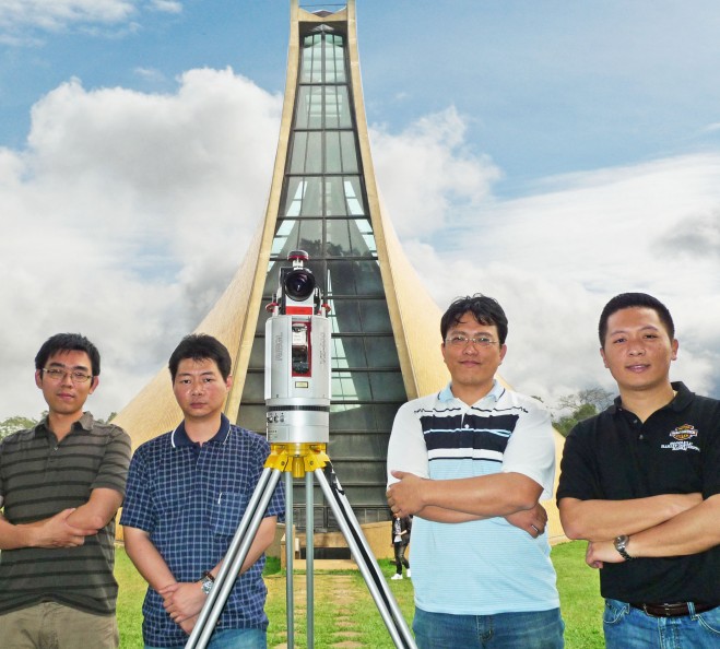
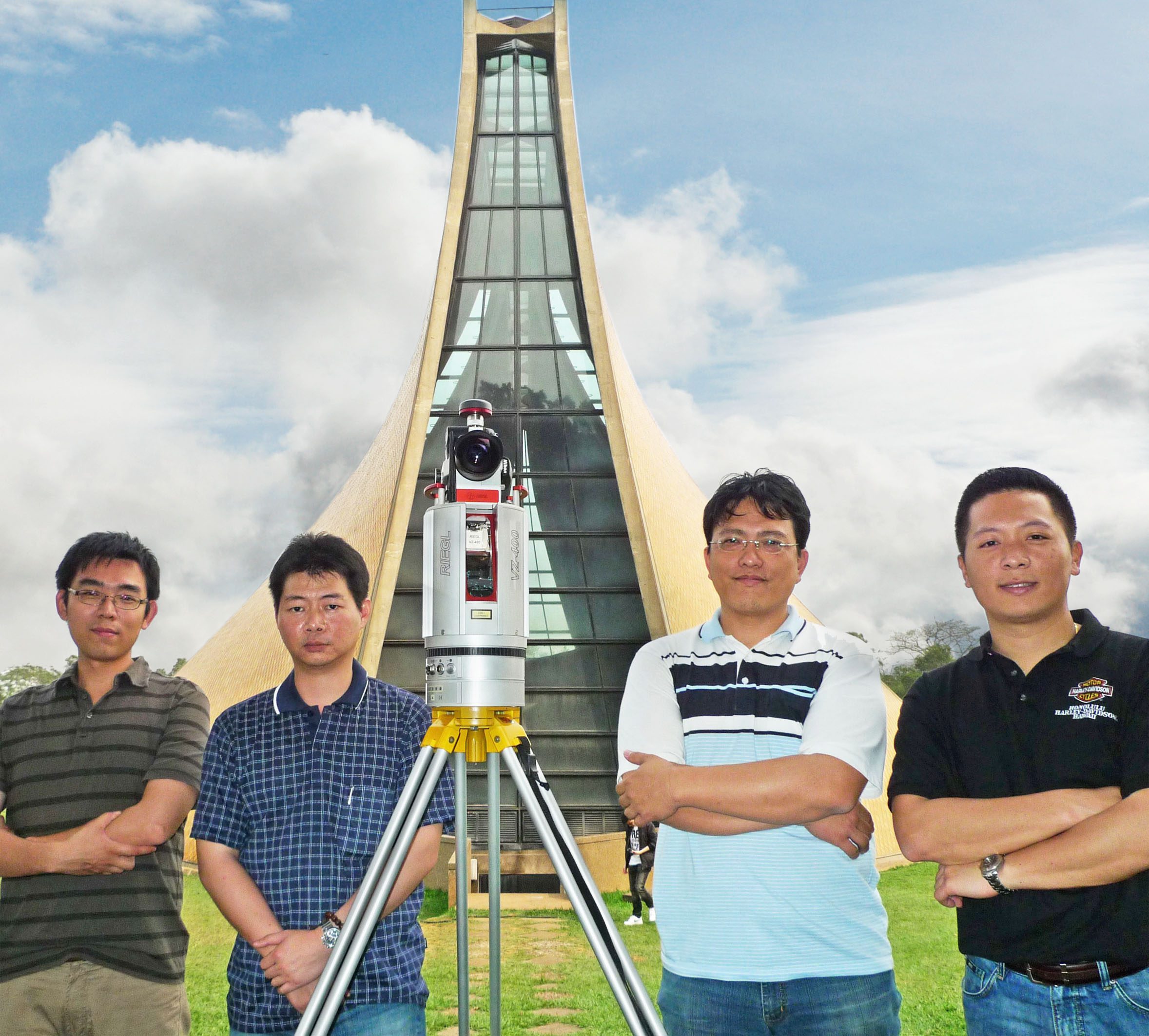
“Pointools software offerings perfectly complement our 3D scanning solutions from Riegl and Topcon to enable unrivalled scan data reuse across the broadest range of software apps.” Pointools offerings include stand-alone applications, CAD software plug-ins, and a third-party development platform for point cloud processing and visualisation; uniquely enabling point cloud From left to right Linkfast team, Leo Chang, Wil Hu, Michael Lee (Sales Director), Dean Yangmodel reuse across Bentley, Autodesk, Safe Software, Rhino, and SketchUp applications without time-consuming translation. “We are very excited to welcome Linkfast to the Pointools Partner Program,” enthused Joe Croser, VP of Products at Pointools.

“Their proven success in Taiwan’s 3D laser scanning market, and their drive to be the first to introduce the latest technologies is unrivalled. As a result we anticipate Linkfast will become a key partner for us in Asia.”

The Pointools suite of software is used by architects, engineers, contractors and surveyors to leverage the same high-performance Pointools POD model file format across multiple workflows including AEC, Art & Entertainment, Forensics, GIS & Mapping, Heritage, Infrastructure, Manufacturing, Mining, Power & Utilities, and Security & Defence.

CONTACTS: Pointools: [email protected], www.pointools.com, www.twitter.com/pointools