Asian Surveying & Mapping
Breaking News
HAL to build, market Isro’s SSLV in landmark deal
New Delhi, Jun 20: In a historic move for...
Taiwan developing space capabilities for all-weather imaging
TAIPEI (TVBS News) — Taiwan is advancing its space...
Honda hails successful test of reusable rocket as it looks to get into the space business
Tokyo — Japan's second-biggest carmaker, Honda, has successfully tested...
China’s space program provides larger platform for broader international cooperation
BEIJING -- Experts from China's manned space program said...
India To Launch $1.5 Billion Joint Earth Mission With NASA In July
National Aeronautics and Space Administration (NASA) and the Indian...
Axiom-4 mission delayed again: ISRO confirms Subhanshu Shukla’s ISS spaceflight won’t launch before 22 June 2025
The Axiom-4 mission to the International Space Station has...
Mengzhou spacecraft for China’s moon-landing mission passes landmark test flight
China has completed the inaugural test flight of its...
Space application for ITMA Asia + CITME 2026 opens
Shanghai – Space application for the 2026 edition of...
Yanmar, Chia Tai and XAG Empower Thai Agriculture through Innovation
Bang Nam Priao District, Chachoengsao Province, Thailand – On...
bitsensing Signs MOU with IKIO Technologies to Advance AI-Based Traffic Monitoring on India’s Expressways, Highways and Municipal Areas
Backed by proven success in South Korea and Europe,...

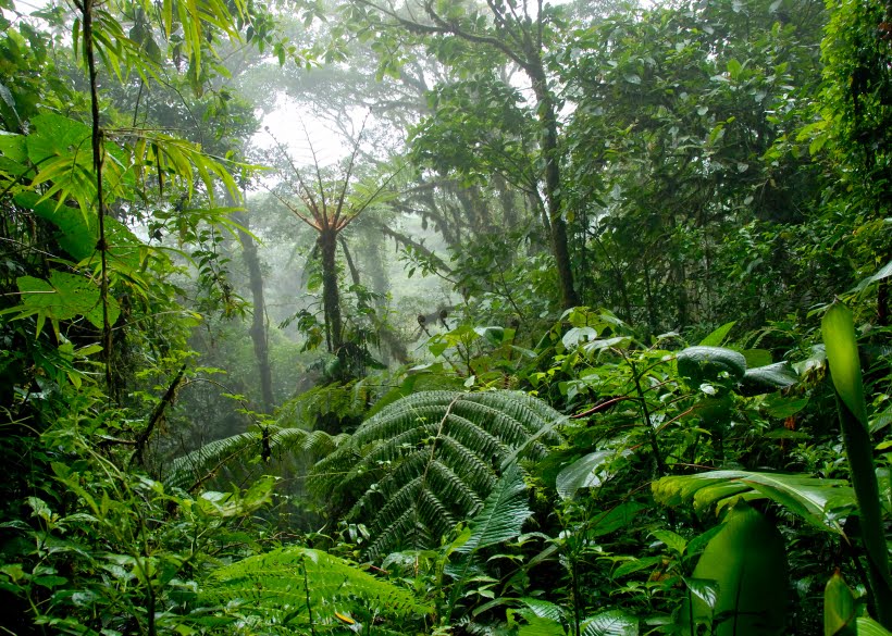
The Forest Department of India will use geo informatics for effective conservation of Telangana’s forests. Besides preventing encroachment and forest fires, the government will use latest technology to identify vacant lands in forests to spread green cover and also geo-tag saplings to monitor their growth.

During the meeting of the Forest Protection Advisory Committee at Aranya Bhavan, officials of the department along with Geo Informatics, National Remote Sensing Agency (NRSA) and Forest Survey of India (FSI) deliberated on the use of technology for the protection and conservation of forests in the state.

FSI former director general Devandra Pandey said forests were under pressure from various sectors due to worldwide climatic changes and needed to be protected using satellite technology. He pointed out that NRSA was providing maps of forests to the Forest Department, which can be used for the prevention of deforestation and also protection of forest lands from being occupied.

Click here to read more.