Asian Surveying & Mapping
Breaking News
Japan Eyes Sovereign D2D Satellite Network
Japan plans to select a proposal this month for...
China schedules Long March 10B rocket launch and recovery attempt
HELSINKI — China is set for a debut flight...
BRICS space agencies meet begins in Bengaluru
Heads and senior representatives of the space agencies of...
“India’s growing space ecosystem to drive global collaboration”, says ISRO Chairman V Narayanan after BRICS Space Agencies Meeting
"India's growing space ecosystem to drive global collaboration", says...
UAE aims to see Emirati on Moon in next 10 years, says MBRSC chief
UAE expects to have a presence on the Moon within...
Safran, SatSure partner to develop geospatial intelligence solutions for India
French aerospace giant Safran Electronics & Defense and Indian...
Singapore unveils road map to help develop international business standards and conformance
Singapore has unveiled plans to help develop international standards...
Adelaide University to run space and defence venture launchpad ahead of Australian Space Forum
Adelaide University’s Innovation & Collaboration Centre (ICC) will deliver...
Japan’s H3 rocket returns to space with successful launch after December setback
Japan’s flagship H3 rocket has returned to flight six...
KONGSBERG accelerates seabed mapping developments with Ocean Exploration Trust expedition aboard Exploration Vessel Nautilus
KONGSBERG and the Ocean Exploration Trust (OET) are set...

September 25th, 2018
ISRO Launches Two More Satellites

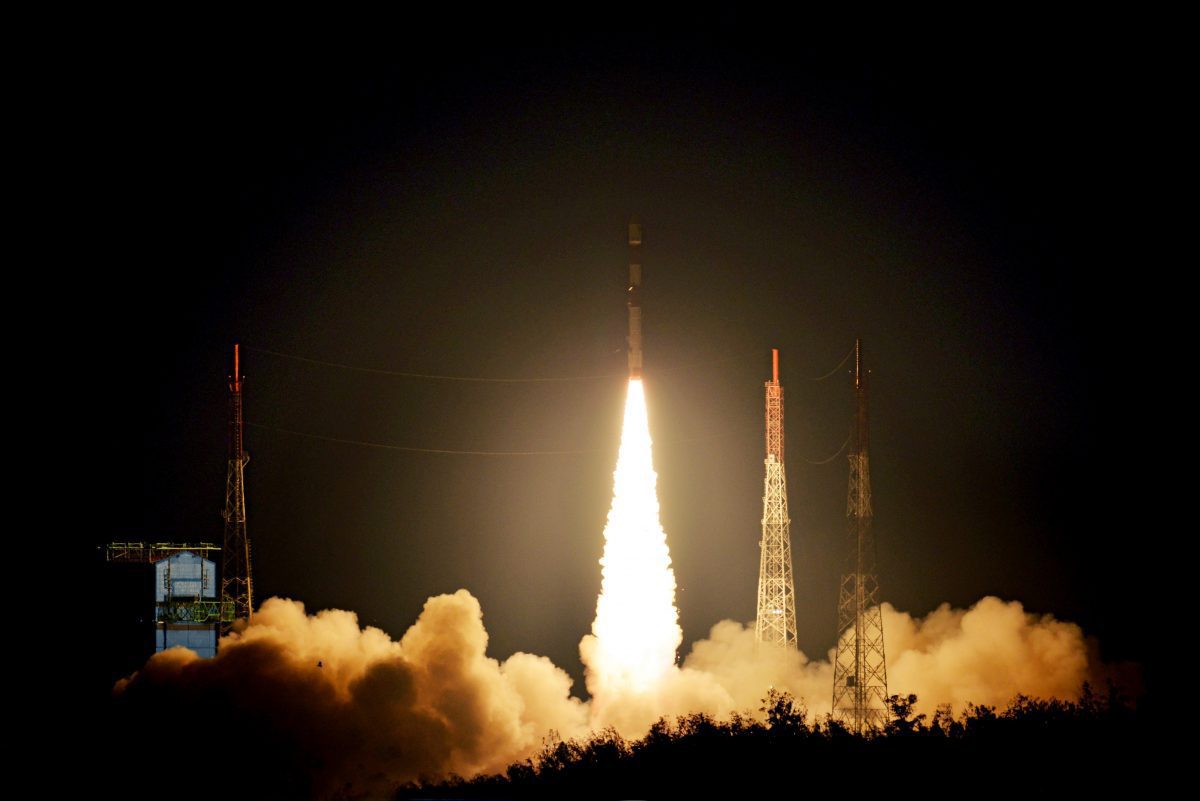
The Indian Space Research Organization (ISRO) announced that its PSLV-C42 rocket successfully launched two foreign satellites from the Satish Dhawan Space Centre on Sept. 16, 2018. This mission was designed to launch two Earth-observation satellites, NovaSAR and S1-4 (together weighing nearly 889 kilograms). Both satellites were injected into 583-kilometer sun-synchronous orbit.

NovaSAR is an S-band synthetic aperture radar satellite intended for forest mapping; land use and ice-cover monitoring; and flood and disaster monitoring. S1-4 is a high-resolution optical Earth-observation satellite used for surveying resources, environmental monitoring, urban management and disaster monitoring.