Asian Surveying & Mapping
Breaking News
Japan Eyes Sovereign D2D Satellite Network
Japan plans to select a proposal this month for...
China schedules Long March 10B rocket launch and recovery attempt
HELSINKI — China is set for a debut flight...
BRICS space agencies meet begins in Bengaluru
Heads and senior representatives of the space agencies of...
“India’s growing space ecosystem to drive global collaboration”, says ISRO Chairman V Narayanan after BRICS Space Agencies Meeting
"India's growing space ecosystem to drive global collaboration", says...
UAE aims to see Emirati on Moon in next 10 years, says MBRSC chief
UAE expects to have a presence on the Moon within...
Safran, SatSure partner to develop geospatial intelligence solutions for India
French aerospace giant Safran Electronics & Defense and Indian...
Singapore unveils road map to help develop international business standards and conformance
Singapore has unveiled plans to help develop international standards...
Adelaide University to run space and defence venture launchpad ahead of Australian Space Forum
Adelaide University’s Innovation & Collaboration Centre (ICC) will deliver...
Japan’s H3 rocket returns to space with successful launch after December setback
Japan’s flagship H3 rocket has returned to flight six...
KONGSBERG accelerates seabed mapping developments with Ocean Exploration Trust expedition aboard Exploration Vessel Nautilus
KONGSBERG and the Ocean Exploration Trust (OET) are set...

August 21st, 2018
Five ISRO Satellites Saving Lives in Rain-Battered Kerala

Five satellites of the Indian Space Research Organisation (ISRO) are playing an important role in saving lives of people stranded in the flooded affected pockets of Kerala, according to the Times of India.

Earth observation satellites Oceansat-2, Resourcesat-2, Cartosat 2 and 2A, and INSAT 3DR are sending real-time images of the flood-affected region to stations on the ground. These real-time images are helping in the identification of flood-affected pockets and assessment of the situation.

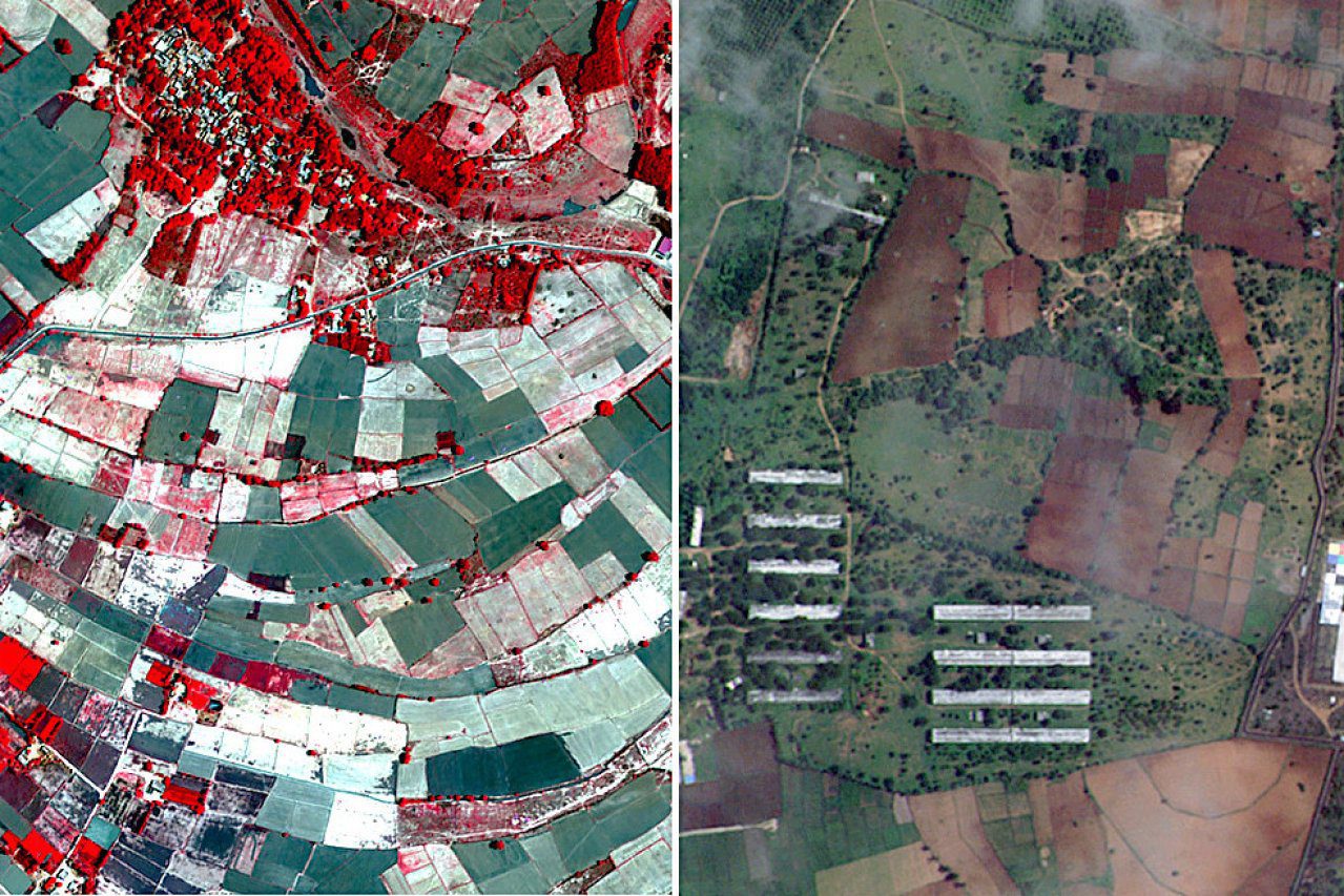
Under the disaster management support program of the organization, data sent by these satellites is processed at the Hyderabad-based Decision Support Centre, which is part of the National Remote Sensing Centre. Inundation maps are prepared with flooded and non-flooded areas marked in different colors. The derived information and pictures are disseminated to the concerned agencies.