Asian Surveying & Mapping
Breaking News
Intermap Announces $1 Million Program in Malaysia and Business Updates
DENVER – Intermap Technologies (TSX: IMP; OTCQB: ITMSF) (“Intermap” or...
From Kuala Lumpur To Singapore: Malaysia’s High-Speed Rail Resurgence Sparks China’s Pan-Asia Vision
The Malaysian government is once again working on building...
Japan’s Synspective successfully launches fourth SAR satellite
Synspective, the Japanese provider of Satellite/Synthetic Aperture Radar (SAR)...
South Korea’s Joowon Industrial Selects Aeva 4D LiDAR for Automated Power Line Inspection Program
MOUNTAIN VIEW, Calif. & SEONGNAM CITY, South Korea- Aeva®...
Synspective’s SAR Satellite, StriX-3, Successfully Reaches Its Target Orbit and Spreads Its Wings
TOKYO, 2024, March 13 – Synspective Inc., a SAR...
Indian Prime Minister Narendra Modi Commissions Genesys Digital Twin Map Stack in His Parliamentary Constituency
Mumbai: The Prime Minister of India, Mr. Narendra Modi, recently...
Geo Connect Asia 2024 to unveil geospatial’s transformative power
Geo Connect Asia (GCA) is set to return to...
Iran launches ‘domestically developed’ imaging satellite from Russia
The launch of Pars 1 is fourth this year,...
Astranis relocating hobbled debut satellite from Alaska to Asia
TAMPA, Fla. — Astranis is moving its debut satellite...
Asia space race heats up as China, Japan and India reach for the stars
After another year of US aeronautics company SpaceX dominating...

An 800-year-old puzzle about the burial place of Mongolian ruler Genghis Khan sparked a very 21st century business. Albert Lin was on an expedition to locate the lost tomb of the Mongol Empire founder, when satellite imagery firm DigitalGlobe donated some photos of potential areas for his team to scrutinise.

These images, taken from space, were enormous, and as nobody knows what the tomb actually looked like, there was no obvious place to start the search.

So the team decided to crowdsource for clues. They returned to Mongolia three times to investigate “anomalies” in the photographs, submitted by eagle-eyed armchair enthusiasts. Could one of these have been the burial site?

Alas, no, the search continues. But one of the team members, Shay Har-Noy, says: “We did find some ancient archaeological sites that are still in need of investigation.”

The experience inspired them to set up crowdsourcing platform Tomnod, which offered satellite imagery from DigitalGlobe to people running their own projects. DigitalGlobe eventually acquired the firm.

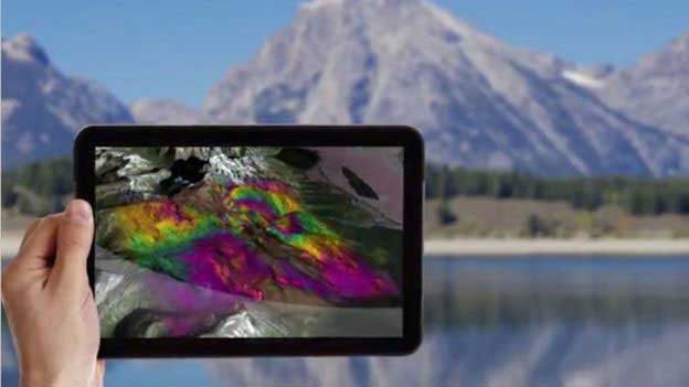
Among many other applications, shortwave infrared satellite imagery can help miners search for minerals. (Credit: DigitalGlobe)