Hardware
Thursday, January 27th, 2011
TeleNav has launched TeleNav GPS Navigator version 6.2 for select Android devices. The latest release is designed to deliver a faster and more reliable way to navigate, search, and view maps on a mobile device. New features...
Thursday, January 27th, 2011
The new Mura MPX Series cards combine traditionally separate input and output cards onto a single-slot, PCI Express x16 Gen 2 board, leveraging 64 Gb/sec full duplex data transfer to display full frame rate, HD video input...

Tuesday, January 25th, 2011
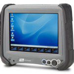
Tablet innovator DAP Technologies today announced the availability of two new Windows CE 6.0-based rugged tablet computers. The voice-ready M8930 and M8940 models are the first tablets to incorporate breakthrough display technology that delivers maximum viewability in...

Tuesday, January 25th, 2011
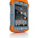
Juniper Systems is proud to announce that the Mesa Geo 3G Rugged Notepad is now available for shipment. In addition to all of the features available on the Mesa Geo model (Bluetooth® wireless technology, Wi-Fi®, GPS, and...
Tuesday, January 25th, 2011
TMicroelectronics today introduced Teseo II, a new generation of single-chip stand-alone positioning receivers for Portable Navigation Devices, in-car navigation and telematics applications. These Systems-on-Chips are the industry's first monolithic devices capable of receiving signals from multiple satellite...

Wednesday, January 19th, 2011
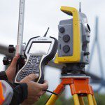
Trimble introduced today its next generation field device—the Trimble® TSC3 controller. As part of Trimble’s portfolio of Connected Site™ survey solutions, the new controller allows surveyors and geospatial professionals to collect, share and deliver data for improved...

Wednesday, January 19th, 2011
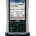
Spectra Precision introduced today additions to its line of outdoor rugged data collectors—the next generation Ranger 3 data collector series and the Nomad 900 series. These new advanced solutions are designed to operate with Spectra Precision Survey...

Wednesday, January 19th, 2011
Leica Geosystems is pleased to announce version 4.1 of Leica MobileMatriX. This version fully integrates the new Leica Viva Total Stations and many other improvements. Leica MobileMatriX, together with Leica Geosystems instruments, is the most advanced solution...
Tuesday, January 18th, 2011
Topcon Positioning Systems (TPS) new RTP-300 Real Time Profiler collects surface data at speeds up to 65 miles per hour (105 km/hr) and creates an exact model of the existing surface.
Tuesday, January 18th, 2011
Topcon Positioning Systems (TPS) has announced an industry-leading five-year guarantee for all Topcon manufactured laser products.

