Asian Surveying & Mapping
Breaking News
South Korea is converting an abandoned coal mine into a moon exploration testing ground
South Korea is transforming abandoned coal mines into testing...
ISRO to Launch Chandrayaan-5 With Japan, Plans Space Station
Dr. V. Narayanan, Chairman of the Indian Space Research...
Russia and China are threatening SpaceX’s Starlink satellite constellation, new report finds
SpaceX's Starlink satellite constellation is facing threats from Russia...
China and Pakistan agree to fly 1st foreign astronaut to Chinese space station
For the first time, the Chinese space program will train...
ISRO’s “Space on Wheels” offers a peek into Indian Space Programme to students in Karimnagar
The Indian Space Research Organisation (ISRO)’s “Space on Wheels”...
Geospatial led solutions build the foundations for better decision-making
Geo Connect Asia 2025 paves the way for turning...
GEOSA, Singapore Land Authority Launch Achievements of Joint Geospatial System Project
Riyadh, SPA -- The General Authority for Survey and...
Building in Bangkok collapses as powerful earthquake hits southeast Asia
One person has died and 50 were injured in...
Bellatrix Aerospace Partners with Astroscale Japan for Space Debris Removal
Bellatrix Aerospace, a Bengaluru-based space mobility company, has joined...
NSTC announces Pingtung site as Taiwan’s space mission launch center
Taipei, March 26 (CNA) Taiwan's National Science and Technology...
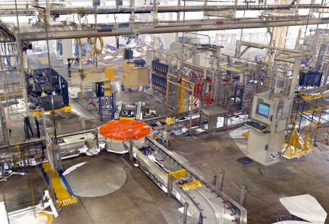
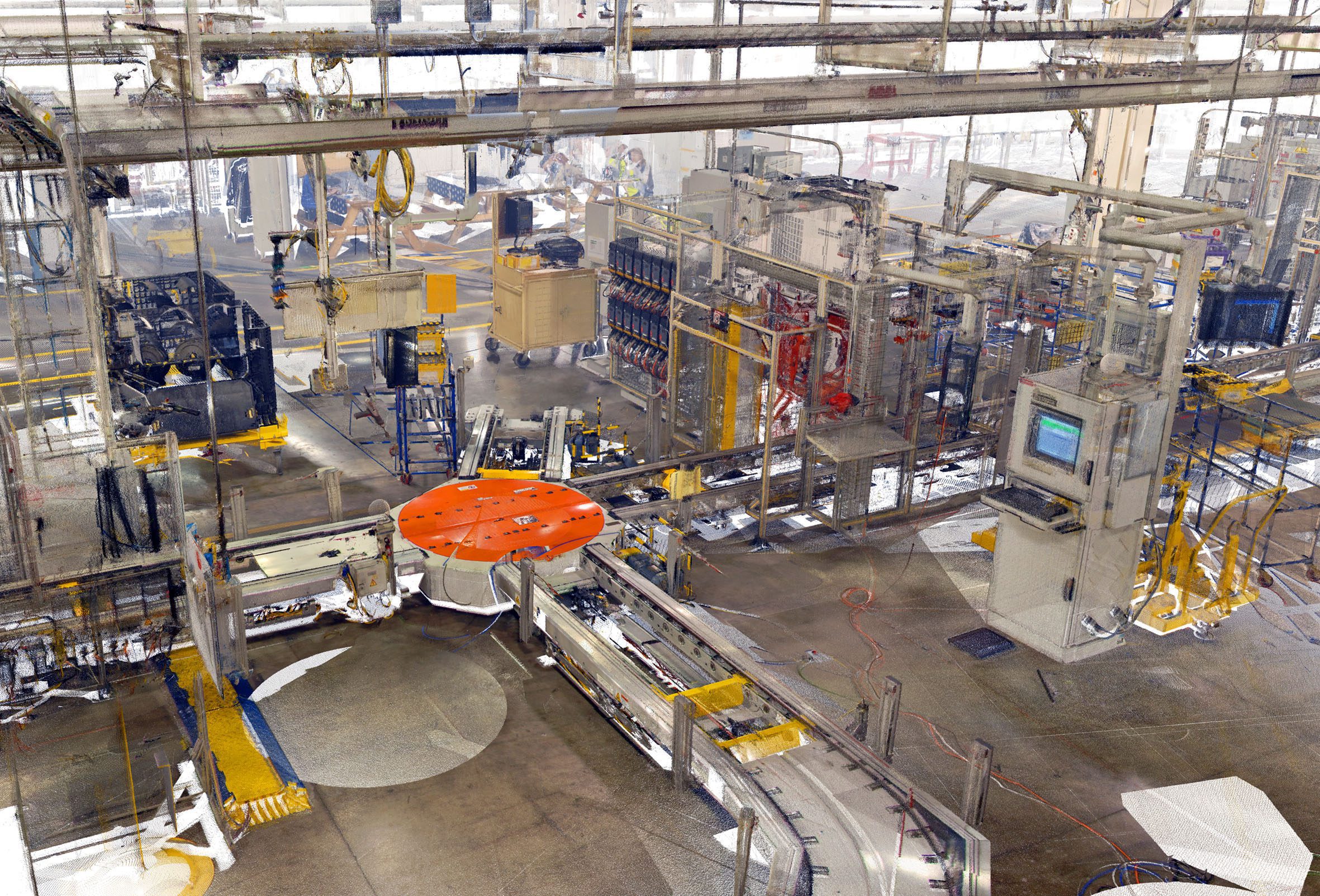
Pointools Ford Plant Laser Scan

“By packaging these applications and plug-ins in a cost effective bundle, we are making it easier for project teams to work with 3D laser scan data inside their preferred CAD application environments,” commented Joe Croser, VP of Products at Pointools. “For a very competitive price, users can now convert raw point data into detailed 3D point cloud models. They can process and edit point clouds to generate high-definition movies, and they can reuse the same point cloud models inside a broad range of Autodesk, Rhino, and Google SketchUp apps.”

Pointools Suite includes Pointools POD Creator (to convert the broadest range of 3D laser scan formats), Pointools Edit (for selecting, editing, segmenting, and animating the largest point cloud models), and Pointools Plug-ins for Rhino, Google SketchUp, and Autodesk applications including AutoCAD, Civil 3D, Architecture, Map 3D, and Land Desktop. 

Pointools Plug-ins all reuse the same Pointools POD model file format to eliminate the need for time-wasting translations when working across applications environments. In addition, Pointools plug-ins enable AutoCAD, Rhino, and SketchUp users to increase modelling productivity by rapidly displaying the largest point cloud models on-screen whilst maintaining the highest levels of accuracy and visual quality.

www.pointools.com