Asian Surveying & Mapping
Breaking News
Ecolab and ITE partners to harness water management knowledge for Singapore data center engineers
SINGAPORE, 29 APRIL 2024 – Nalco Water, an Ecolab...
NASA releases satellite photos of Dubai and Abu Dhabi before and after record flooding
NASA released photos of parts of Dubai and Abu...
Singapore releases 10-year Geospatial Master Plan
Singapore has launched its new Geospatial Master Plan (2024–33),...
Japan announces plans to launch upgraded observation satellites on new flagship rocket’s 3rd flight
TOKYO (AP) — Japan’s space agency announced Friday a...
Tesla China partners with Baidu for maps to clear FSD hurdle
Amidst Elon Musk’s unannounced trip to Beijing, China this...
ESA opens ideas factory to boost space innovation in Austria
A centre to innovate the design and manufacture of...
Japan’s space agency sets June 30 as third launch date for H3 rocket
The Japan Aerospace Exploration Agency (JAXA) announced Friday that...
S. Korea launches nanosatellite for Earth observation
SEOUL- A South Korean nanosatellite was launched into orbit...
Australian Space Agency funds development of aerospace-grade GNSS receiver
The Australian Space Agency has funded the development of...
Continuity risks for Australian EO data access
A new report details the widespread use of Earth...
  • Jul 18, 2022
  • Comments Off on Infrastructure Cook Islands Enlist Topo-Bathy Lidar Data and Imagery
  • Feature
  • 480 Views

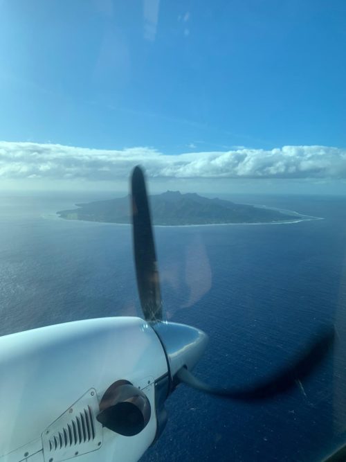
Infrastructure Cook Islands (ICI) contracted with Woolpert to collect topographic and bathymetric lidar data and aerial imagery across the Cook Islands. The multimillion-dollar contract is funded by the New Zealand Ministry of Foreign Affairs and Trade and the Green Climate Fund.

The data and products developed under this contract will help ICI improve and advance sustainable infrastructure development, environmental monitoring and assessment, natural hazard planning and mitigation, disaster and climate resilience, and nautical charting. ICI Project Manager Jake Langdon said the data and imagery will support better management and planning.

“Lidar data enables us to model the landscape and seascape and understand how they both change over time to identify specific regions most at risk to natural disaster, climate change and other environmental issues,” Langdon said. “We can use this information to focus our resources, reinforce emergency transport routes, protect people and infrastructure in harm’s way, and mitigate the overall impact of natural disasters before they strike.”

This project will cover approximately 229 square kilometers, including terrestrial, lagoon and offshore components, across the 12 inhabited islands of the Cook Islands.