Asian Surveying & Mapping
Breaking News
South Korea is converting an abandoned coal mine into a moon exploration testing ground
South Korea is transforming abandoned coal mines into testing...
ISRO to Launch Chandrayaan-5 With Japan, Plans Space Station
Dr. V. Narayanan, Chairman of the Indian Space Research...
Russia and China are threatening SpaceX’s Starlink satellite constellation, new report finds
SpaceX's Starlink satellite constellation is facing threats from Russia...
China and Pakistan agree to fly 1st foreign astronaut to Chinese space station
For the first time, the Chinese space program will train...
ISRO’s “Space on Wheels” offers a peek into Indian Space Programme to students in Karimnagar
The Indian Space Research Organisation (ISRO)’s “Space on Wheels”...
Geospatial led solutions build the foundations for better decision-making
Geo Connect Asia 2025 paves the way for turning...
GEOSA, Singapore Land Authority Launch Achievements of Joint Geospatial System Project
Riyadh, SPA -- The General Authority for Survey and...
Building in Bangkok collapses as powerful earthquake hits southeast Asia
One person has died and 50 were injured in...
Bellatrix Aerospace Partners with Astroscale Japan for Space Debris Removal
Bellatrix Aerospace, a Bengaluru-based space mobility company, has joined...
NSTC announces Pingtung site as Taiwan’s space mission launch center
Taipei, March 26 (CNA) Taiwan's National Science and Technology...
  • Jul 18, 2022
  • Comments Off on Infrastructure Cook Islands Enlist Topo-Bathy Lidar Data and Imagery
  • Feature
  • 672 Views

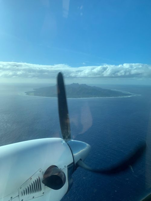
Infrastructure Cook Islands (ICI) contracted with Woolpert to collect topographic and bathymetric lidar data and aerial imagery across the Cook Islands. The multimillion-dollar contract is funded by the New Zealand Ministry of Foreign Affairs and Trade and the Green Climate Fund.

The data and products developed under this contract will help ICI improve and advance sustainable infrastructure development, environmental monitoring and assessment, natural hazard planning and mitigation, disaster and climate resilience, and nautical charting. ICI Project Manager Jake Langdon said the data and imagery will support better management and planning.

“Lidar data enables us to model the landscape and seascape and understand how they both change over time to identify specific regions most at risk to natural disaster, climate change and other environmental issues,” Langdon said. “We can use this information to focus our resources, reinforce emergency transport routes, protect people and infrastructure in harm’s way, and mitigate the overall impact of natural disasters before they strike.”

This project will cover approximately 229 square kilometers, including terrestrial, lagoon and offshore components, across the 12 inhabited islands of the Cook Islands.