Asian Surveying & Mapping
Breaking News
South Korea is converting an abandoned coal mine into a moon exploration testing ground
South Korea is transforming abandoned coal mines into testing...
ISRO to Launch Chandrayaan-5 With Japan, Plans Space Station
Dr. V. Narayanan, Chairman of the Indian Space Research...
Russia and China are threatening SpaceX’s Starlink satellite constellation, new report finds
SpaceX's Starlink satellite constellation is facing threats from Russia...
China and Pakistan agree to fly 1st foreign astronaut to Chinese space station
For the first time, the Chinese space program will train...
ISRO’s “Space on Wheels” offers a peek into Indian Space Programme to students in Karimnagar
The Indian Space Research Organisation (ISRO)’s “Space on Wheels”...
Geospatial led solutions build the foundations for better decision-making
Geo Connect Asia 2025 paves the way for turning...
GEOSA, Singapore Land Authority Launch Achievements of Joint Geospatial System Project
Riyadh, SPA -- The General Authority for Survey and...
Building in Bangkok collapses as powerful earthquake hits southeast Asia
One person has died and 50 were injured in...
Bellatrix Aerospace Partners with Astroscale Japan for Space Debris Removal
Bellatrix Aerospace, a Bengaluru-based space mobility company, has joined...
NSTC announces Pingtung site as Taiwan’s space mission launch center
Taipei, March 26 (CNA) Taiwan's National Science and Technology...
  • May 24, 2022
  • Comments Off on Pacific Community Acquires Topo-Bathy Lidar, Aerial Imagery for Vanuatu
  • Feature
  • 681 Views

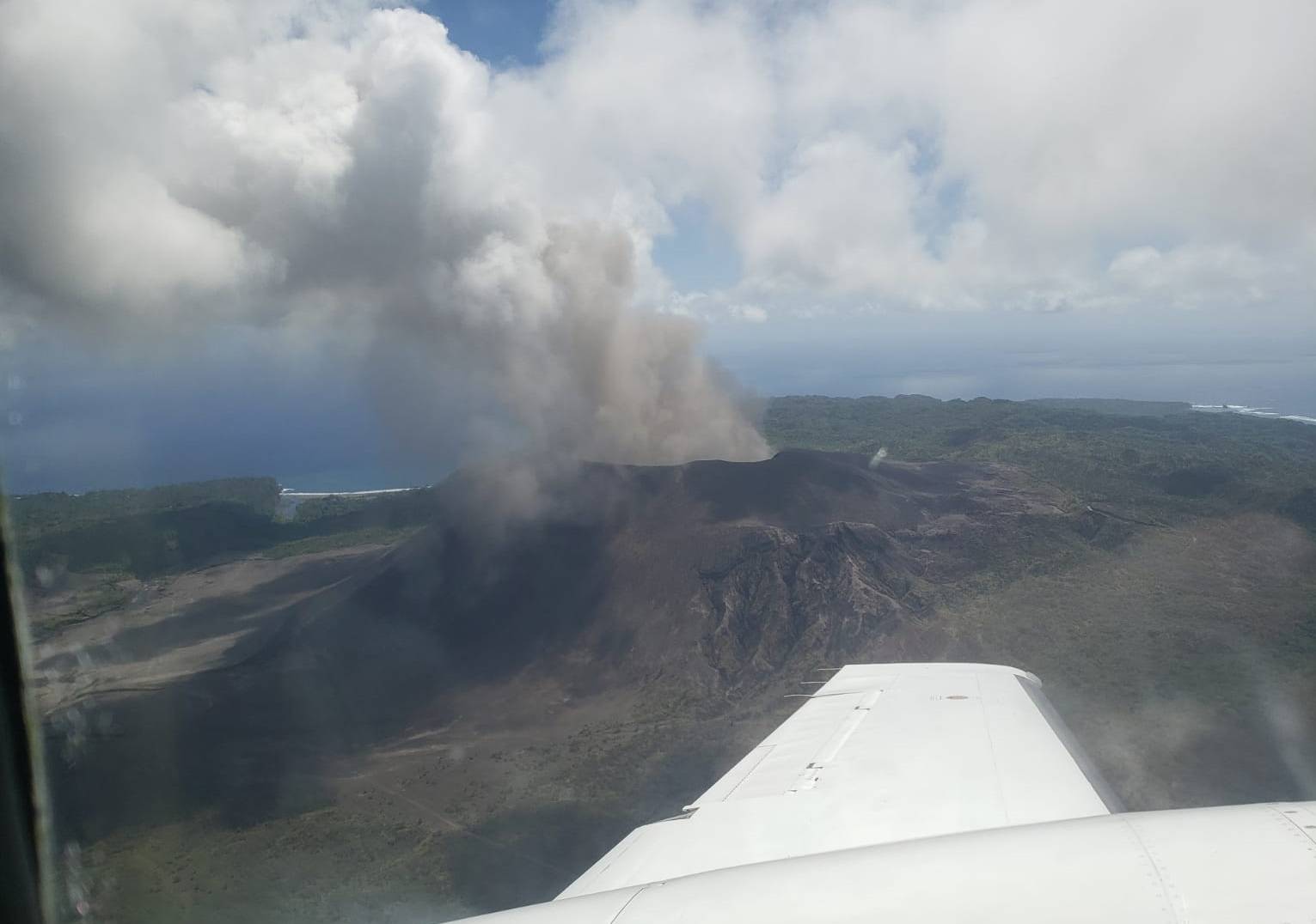
Woolpert was contracted by the Pacific Community (SPC) to acquire, process and deliver topographic and bathymetric lidar data and aerial imagery for Vanuatu, a nation of multiple islands in the South Pacific. The project, funded by The World Bank, will help Vanuatu and SPC improve disaster resilience and response, conduct infrastructure planning, monitor the impact of climate change, and develop tools and systems to support coastal and hydrologic analysis throughout the islands.

SPC is a scientific and technical organization, owned and governed by 27 country and territory members in the Pacific, that supports a people-centered approach to sustainable development. Woolpert and its family of companies, most recently AAM and eTrac, have conducted multiple high-accuracy and high-resolution topo-bathy lidar data surveys internationally to support this same directive. 

By integrating past and present data and imagery from multiple sources, Woolpert will develop digital elevation models and other derived products that will contribute to risk-informed decision-making to improve preparedness and mitigate risks to vulnerable communities and enhance resilient development planning throughout the Pacific.