Asian Surveying & Mapping
Breaking News
HAL to build, market Isro’s SSLV in landmark deal
New Delhi, Jun 20: In a historic move for...
Taiwan developing space capabilities for all-weather imaging
TAIPEI (TVBS News) — Taiwan is advancing its space...
Honda hails successful test of reusable rocket as it looks to get into the space business
Tokyo — Japan's second-biggest carmaker, Honda, has successfully tested...
China’s space program provides larger platform for broader international cooperation
BEIJING -- Experts from China's manned space program said...
India To Launch $1.5 Billion Joint Earth Mission With NASA In July
National Aeronautics and Space Administration (NASA) and the Indian...
Axiom-4 mission delayed again: ISRO confirms Subhanshu Shukla’s ISS spaceflight won’t launch before 22 June 2025
The Axiom-4 mission to the International Space Station has...
Mengzhou spacecraft for China’s moon-landing mission passes landmark test flight
China has completed the inaugural test flight of its...
Space application for ITMA Asia + CITME 2026 opens
Shanghai – Space application for the 2026 edition of...
Yanmar, Chia Tai and XAG Empower Thai Agriculture through Innovation
Bang Nam Priao District, Chachoengsao Province, Thailand – On...
bitsensing Signs MOU with IKIO Technologies to Advance AI-Based Traffic Monitoring on India’s Expressways, Highways and Municipal Areas
Backed by proven success in South Korea and Europe,...

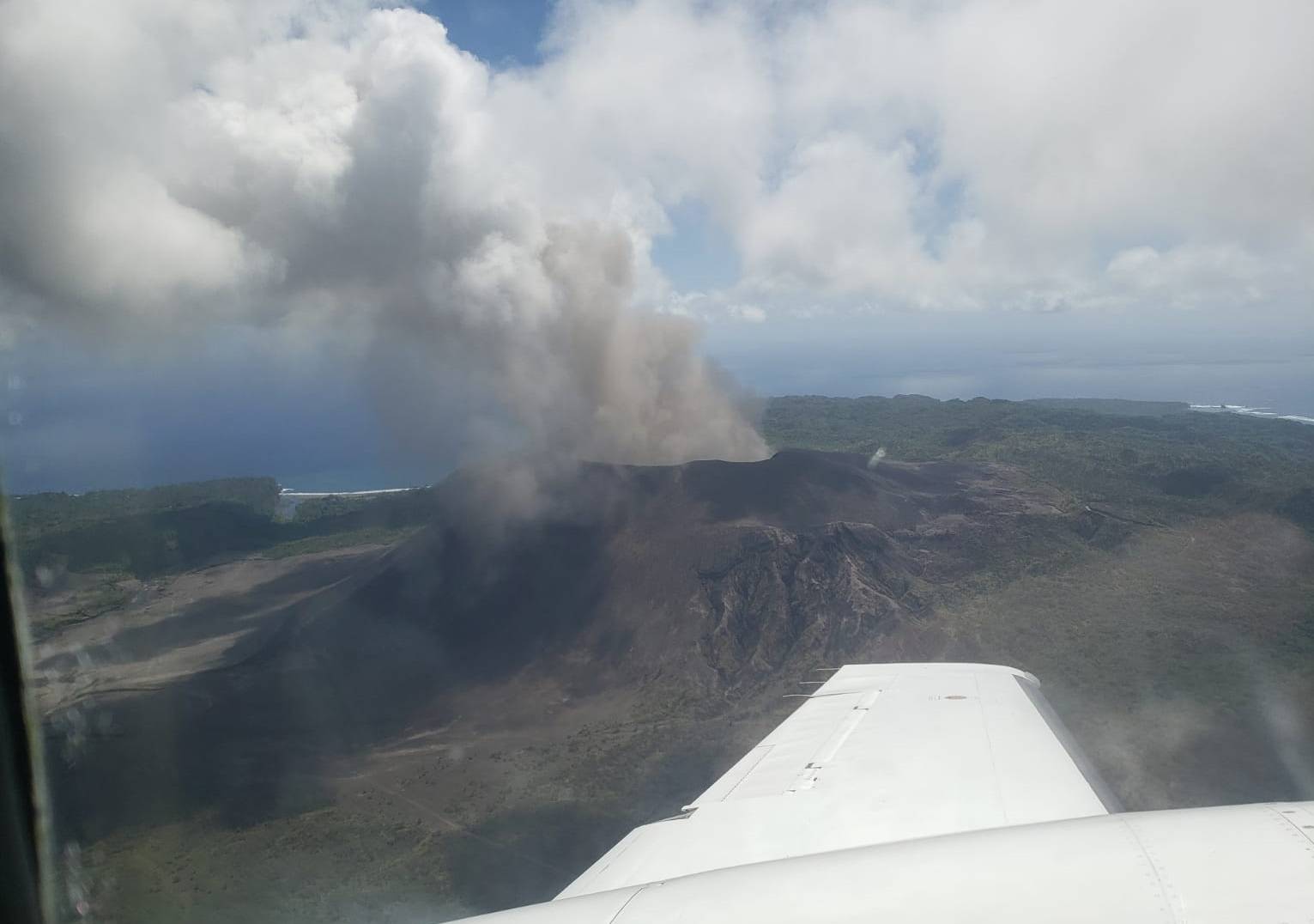
Woolpert was contracted by the Pacific Community (SPC) to acquire, process and deliver topographic and bathymetric lidar data and aerial imagery for Vanuatu, a nation of multiple islands in the South Pacific. The project, funded by The World Bank, will help Vanuatu and SPC improve disaster resilience and response, conduct infrastructure planning, monitor the impact of climate change, and develop tools and systems to support coastal and hydrologic analysis throughout the islands.

SPC is a scientific and technical organization, owned and governed by 27 country and territory members in the Pacific, that supports a people-centered approach to sustainable development. Woolpert and its family of companies, most recently AAM and eTrac, have conducted multiple high-accuracy and high-resolution topo-bathy lidar data surveys internationally to support this same directive. 

By integrating past and present data and imagery from multiple sources, Woolpert will develop digital elevation models and other derived products that will contribute to risk-informed decision-making to improve preparedness and mitigate risks to vulnerable communities and enhance resilient development planning throughout the Pacific.