Asian Surveying & Mapping
Breaking News
Esri India Achieves 1 Million Users Milestone
Esri India, the leading provider of Geographic Information System...
Bank Negara, Malaysian Space Agency to bolster financial management ecosystem via space technology
KUALA LUMPUR: Bank Negara Malaysia has partnered with the...
Nepal’s president advisor resigns after criticising inclusion of Indian areas in map on new currency
The economic advisor to Nepal’s president on Sunday (May...
TASA to launch six satellites from 2026
The Taiwan Space Agency (TASA) yesterday said it plans...
Japan to provide flood risk maps for four South-East Asian countries – Indonesia, Vietnam, Thailand and Cambodia
JAKARTA/TOKYO: Japan plans to start providing flood risk maps...
Ecolab and ITE partners to harness water management knowledge for Singapore data center engineers
SINGAPORE, 29 APRIL 2024 – Nalco Water, an Ecolab...
NASA releases satellite photos of Dubai and Abu Dhabi before and after record flooding
NASA released photos of parts of Dubai and Abu...
Singapore releases 10-year Geospatial Master Plan
Singapore has launched its new Geospatial Master Plan (2024–33),...
Japan announces plans to launch upgraded observation satellites on new flagship rocket’s 3rd flight
TOKYO (AP) — Japan’s space agency announced Friday a...
Tesla China partners with Baidu for maps to clear FSD hurdle
Amidst Elon Musk’s unannounced trip to Beijing, China this...
  • Apr 14, 2020
  • Comments Off on Coronavirus: Aussie Air Survey Flights Over New Zealand Leave a Trail of Finger Pointing
  • Feature
  • 831 Views

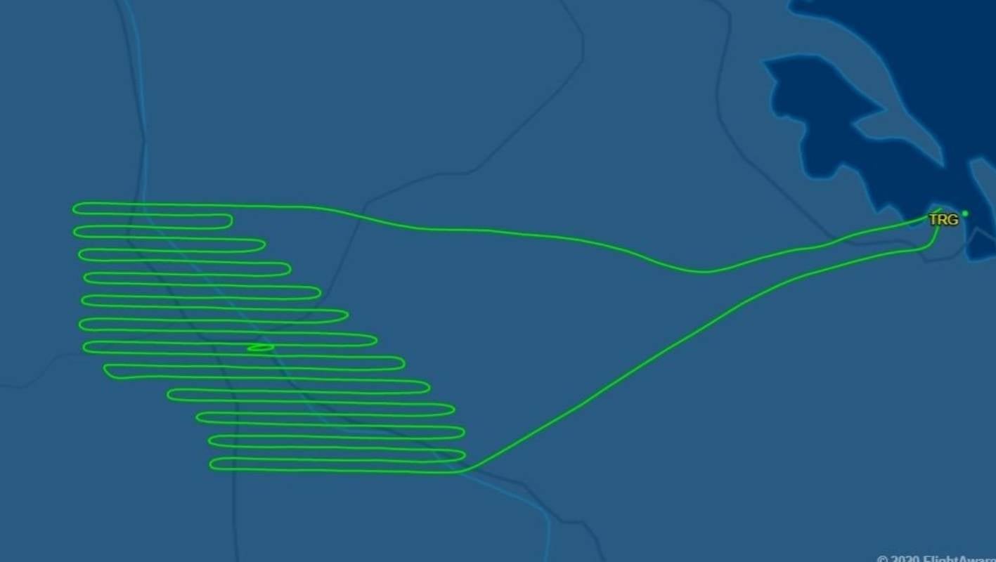
An Australian aerial survey company is being accused by Kiwis of breaching lockdown rules, but it says it has been cleared to fly. Australia-based Nearmap has come under fire from Kiwi operators after allegedly completing survey flights across New Zealand during the past fortnight.

Flight records show an Australian aircraft operated across the South Island in late March, and in Whāngārei, Tauranga and Wellington from April 3 to 5. The Cessna aircraft, which is owned by Handel Aviation, was also active in the skies above Hamilton despite authorities previously saying air surveying companies aren’t exempt from lockdown rules.

Nearmap’s website says it captures high-resolution aerial imagery across New Zealand multiple times a year. 

Click here for more information.