Asian Surveying & Mapping
Breaking News
South Korea is converting an abandoned coal mine into a moon exploration testing ground
South Korea is transforming abandoned coal mines into testing...
ISRO to Launch Chandrayaan-5 With Japan, Plans Space Station
Dr. V. Narayanan, Chairman of the Indian Space Research...
Russia and China are threatening SpaceX’s Starlink satellite constellation, new report finds
SpaceX's Starlink satellite constellation is facing threats from Russia...
China and Pakistan agree to fly 1st foreign astronaut to Chinese space station
For the first time, the Chinese space program will train...
ISRO’s “Space on Wheels” offers a peek into Indian Space Programme to students in Karimnagar
The Indian Space Research Organisation (ISRO)’s “Space on Wheels”...
Geospatial led solutions build the foundations for better decision-making
Geo Connect Asia 2025 paves the way for turning...
GEOSA, Singapore Land Authority Launch Achievements of Joint Geospatial System Project
Riyadh, SPA -- The General Authority for Survey and...
Building in Bangkok collapses as powerful earthquake hits southeast Asia
One person has died and 50 were injured in...
Bellatrix Aerospace Partners with Astroscale Japan for Space Debris Removal
Bellatrix Aerospace, a Bengaluru-based space mobility company, has joined...
NSTC announces Pingtung site as Taiwan’s space mission launch center
Taipei, March 26 (CNA) Taiwan's National Science and Technology...

China’s first polar-observation satellite has completed its Antarctic observation mission after orbiting Earth for six months.

Since it was launched on Sept. 12, 2019, the satellite called “Ice Pathfinder” (Code: BNU-1) has sent back more than 1,000 images covering the south polar region, according to a statement by its operation team.

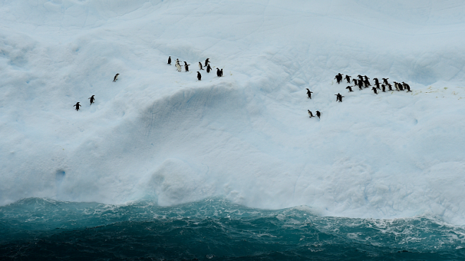
It has observed two vast ice collapses on the continent, one occurring on the Amery Ice Shelf on Sept. 25, 2019, and the other on the Pine Island Glacier in February 2020. The satellite has provided continuous monitoring of these ice-calving events, obtaining key satellite imagery and data, said operation team leader Chen Zhuoqi, also an associate professor of the School of Geospatial Engineering and Science under Sun Yat-sen University in Guangzhou.

Scientists of the satellite project have participated in the country’s ongoing 36th Antarctic expedition. Apart from data acquisition of ground features near research base Zhongshan Station, they also used drone technology to perform remote-sensing research to support “satellite-drone-ground” synchronous scientific experiments in the Antarctic.

Click here for more information.

Image Credit: VCG