Asian Surveying & Mapping
Breaking News
HAL to build, market Isro’s SSLV in landmark deal
New Delhi, Jun 20: In a historic move for...
Taiwan developing space capabilities for all-weather imaging
TAIPEI (TVBS News) — Taiwan is advancing its space...
Honda hails successful test of reusable rocket as it looks to get into the space business
Tokyo — Japan's second-biggest carmaker, Honda, has successfully tested...
China’s space program provides larger platform for broader international cooperation
BEIJING -- Experts from China's manned space program said...
India To Launch $1.5 Billion Joint Earth Mission With NASA In July
National Aeronautics and Space Administration (NASA) and the Indian...
Axiom-4 mission delayed again: ISRO confirms Subhanshu Shukla’s ISS spaceflight won’t launch before 22 June 2025
The Axiom-4 mission to the International Space Station has...
Mengzhou spacecraft for China’s moon-landing mission passes landmark test flight
China has completed the inaugural test flight of its...
Space application for ITMA Asia + CITME 2026 opens
Shanghai – Space application for the 2026 edition of...
Yanmar, Chia Tai and XAG Empower Thai Agriculture through Innovation
Bang Nam Priao District, Chachoengsao Province, Thailand – On...
bitsensing Signs MOU with IKIO Technologies to Advance AI-Based Traffic Monitoring on India’s Expressways, Highways and Municipal Areas
Backed by proven success in South Korea and Europe,...

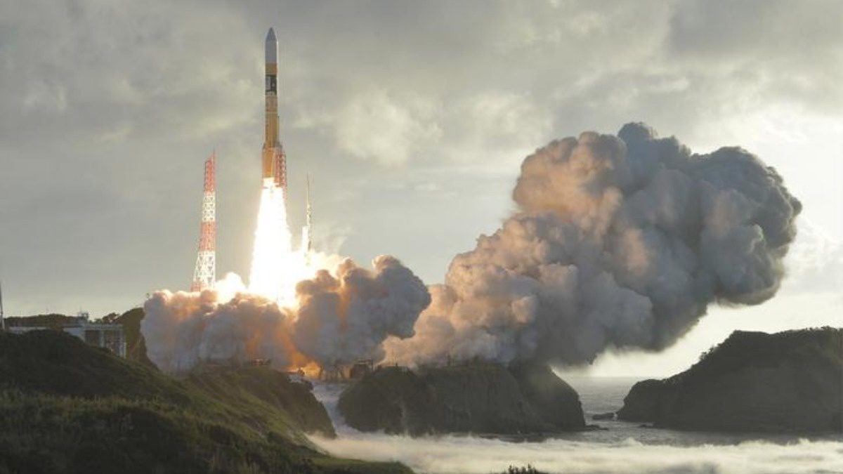
On July 6, 2019, the United Arab Emirates (UAE) launched its latest reconnaissance satellite, Falcon Eye 1, from the Guiana Space Centre. This is UAE’s 10th satellite in orbit and its fourth reconnaissance satellite, making it a geospatial development leader in the Middle East.

Falcon Eye 1 is the first of two reconnaissance satellites arising from an Emirati-French agreement. As the most capable optics France has sold to a foreign country, the Falcon Eyes will be able to take ground images across a 20-kilometer swathe anywhere in the world 24 hours a day.

Along with civilian uses, the Falcon Eye 1’s main responsibility will be to send images to the UAE’s military so they can “strengthen national security” along their borders and coast. The Emiratis’ vulnerabilities were highlighted recently when Iran attacked vessels nearby the Fujairah emirate in the Strait of Hormuz, through which a fifth of the world’s oil passes.

Click here for more information.