Asian Surveying & Mapping
Breaking News
Astranis clinches $115 million Taiwan deal despite satellite setback
TAMPA, Fla. — Astranis has signed a $115 million...
UAE and Egypt Strengthen Space Collaboration with New MoU
In a milestone development for Arab space collaboration, the...
Seoul launches 4th spy satellite to boost North Korea surveillance
South Korea’s military now operates an increasingly integrated cluster...
Indonesia seeks space defense cooperation with Japan’s military
Jakarta (ANTARA) - The Ministry of Defense of Indonesia...
China Launches 3 Astronauts To Its Space Station
The spacecraft Shenzhou-20 and the crew lifted off atop...
Former Isro chairman K Kasturirangan dies in Bengaluru at 84
Dr. Kasturirangan led the Isro, the Space Commission, and...
South Korea is converting an abandoned coal mine into a moon exploration testing ground
South Korea is transforming abandoned coal mines into testing...
ISRO to Launch Chandrayaan-5 With Japan, Plans Space Station
Dr. V. Narayanan, Chairman of the Indian Space Research...
Russia and China are threatening SpaceX’s Starlink satellite constellation, new report finds
SpaceX's Starlink satellite constellation is facing threats from Russia...
China and Pakistan agree to fly 1st foreign astronaut to Chinese space station
For the first time, the Chinese space program will train...

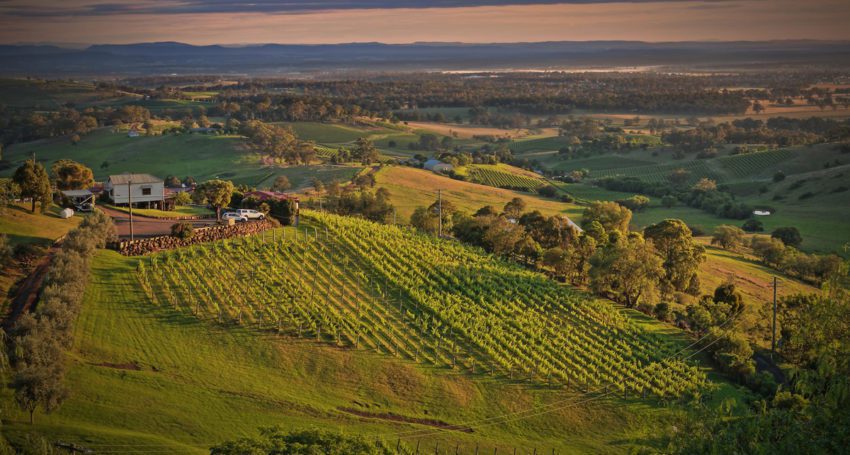
Developed by Consilium Technology in Adelaide, South Australia, the Geospatial Artificial Intelligence for Agriculture (GAIA) analysis algorithm scans high-resolution satellite images of Australia’s wine regions to identify exactly where vineyards are located and how many vine rows are planted.

Funded by Wine Australia, the scan is the first of its kind in the world and replaces the old Australian Bureau of Statistics paper-based sector survey, last published in 2015.

The locations of all 75,961 Australian vineyard blocks detected have been mapped, providing information that can be used for emergency biosecurity responses.

The new method has also measured vine row length, making it possible to assess planting densities by GI region and subregion for the first time.

The multispectral imagery from Maxar’s WorldView-2 satellite and GAIA technology can also be used to provide insights into vine health such as assessing weather-related damage.

Consilium Technology has so far been working in a private Beta with 24 customers including Treasury Wine Estates, DeBortoli Wines, Brown Family Wine Group and a number of viticultural consultancies.