Asian Surveying & Mapping
Breaking News
UAE and Egypt Strengthen Space Collaboration with New MoU
In a milestone development for Arab space collaboration, the...
Seoul launches 4th spy satellite to boost North Korea surveillance
South Korea’s military now operates an increasingly integrated cluster...
Indonesia seeks space defense cooperation with Japan’s military
Jakarta (ANTARA) - The Ministry of Defense of Indonesia...
China Launches 3 Astronauts To Its Space Station
The spacecraft Shenzhou-20 and the crew lifted off atop...
Former Isro chairman K Kasturirangan dies in Bengaluru at 84
Dr. Kasturirangan led the Isro, the Space Commission, and...
South Korea is converting an abandoned coal mine into a moon exploration testing ground
South Korea is transforming abandoned coal mines into testing...
ISRO to Launch Chandrayaan-5 With Japan, Plans Space Station
Dr. V. Narayanan, Chairman of the Indian Space Research...
Russia and China are threatening SpaceX’s Starlink satellite constellation, new report finds
SpaceX's Starlink satellite constellation is facing threats from Russia...
China and Pakistan agree to fly 1st foreign astronaut to Chinese space station
For the first time, the Chinese space program will train...
ISRO’s “Space on Wheels” offers a peek into Indian Space Programme to students in Karimnagar
The Indian Space Research Organisation (ISRO)’s “Space on Wheels”...
  • Feb 13, 2019
  • Comments Off on Human Activity in China and India Dominates the Greening of Earth
  • Feature
  • 1411 Views

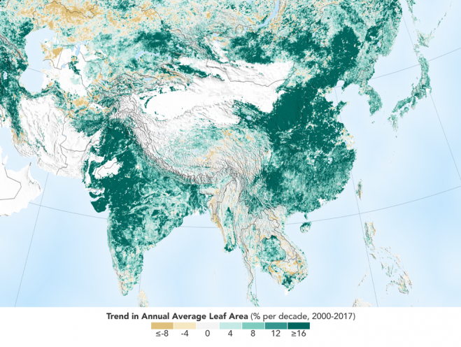
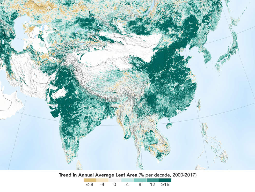
The world is literally a greener place than it was 20 years ago, and data from NASA satellites revealed a counterintuitive source for much of this new foliage: China and India. A new study shows that the two emerging countries with the world’s biggest populations are leading the increase in greening on land. The effect stems mainly from ambitious tree-planting programs in China and intensive agriculture in both countries.

The greening phenomenon was first detected using satellite data in the mid-1990s by Ranga Myneni of Boston University and colleagues, but they did not know whether human activity was one of its chief, direct causes. This new insight was made possible by a nearly 20-year-long data record from a NASA instrument orbiting the Earth on two satellites. It’s called the Moderate Resolution Imaging Spectroradiometer, or MODIS, and its high-resolution data provides very accurate information, helping researchers work out details of what’s happening with Earth’s vegetation, down to the level of 500 meters, or about 1,600 feet, on the ground.

Image Credit: NASA Earth Observatory