Asian Surveying & Mapping
Breaking News
NASA releases satellite photos of Dubai and Abu Dhabi before and after record flooding
NASA released photos of parts of Dubai and Abu...
Singapore releases 10-year Geospatial Master Plan
Singapore has launched its new Geospatial Master Plan (2024–33),...
Japan announces plans to launch upgraded observation satellites on new flagship rocket’s 3rd flight
TOKYO (AP) — Japan’s space agency announced Friday a...
Tesla China partners with Baidu for maps to clear FSD hurdle
Amidst Elon Musk’s unannounced trip to Beijing, China this...
ESA opens ideas factory to boost space innovation in Austria
A centre to innovate the design and manufacture of...
Japan’s space agency sets June 30 as third launch date for H3 rocket
The Japan Aerospace Exploration Agency (JAXA) announced Friday that...
S. Korea launches nanosatellite for Earth observation
SEOUL- A South Korean nanosatellite was launched into orbit...
Australian Space Agency funds development of aerospace-grade GNSS receiver
The Australian Space Agency has funded the development of...
Continuity risks for Australian EO data access
A new report details the widespread use of Earth...
China launches new remote sensing satellite
JIUQUAN, April 15 (Xinhua) -- China on Monday launched...

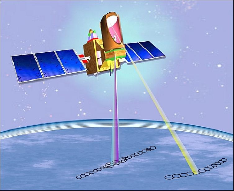
The Megha-Tropiques satellite was built by the Indian Space Research Organisation (ISRO) and the French National Centre for Space Studies (CNES) as a joint venture. The satellite is meant to study water cycle and energy exchanges in tropical regions for weather prediction and climate research. Megha-Tropiques was launched on Oct. 12, 2011, from SDSC, Shriharikota. The satellite has successfully completed seven years of on-orbit observations with four science instruments on board: MADRAS, SAPHIR, SCARAB and ROSA. Megha-Tropiques provides scientific data on the contribution of the water cycle to the tropical atmosphere, with information on condensed water in clouds, water vapor in the atmosphere, precipitation, and evaporation.

Photo credit: CNES, ISRO