Asian Surveying & Mapping
Breaking News
HAL to build, market Isro’s SSLV in landmark deal
New Delhi, Jun 20: In a historic move for...
Taiwan developing space capabilities for all-weather imaging
TAIPEI (TVBS News) — Taiwan is advancing its space...
Honda hails successful test of reusable rocket as it looks to get into the space business
Tokyo — Japan's second-biggest carmaker, Honda, has successfully tested...
China’s space program provides larger platform for broader international cooperation
BEIJING -- Experts from China's manned space program said...
India To Launch $1.5 Billion Joint Earth Mission With NASA In July
National Aeronautics and Space Administration (NASA) and the Indian...
Axiom-4 mission delayed again: ISRO confirms Subhanshu Shukla’s ISS spaceflight won’t launch before 22 June 2025
The Axiom-4 mission to the International Space Station has...
Mengzhou spacecraft for China’s moon-landing mission passes landmark test flight
China has completed the inaugural test flight of its...
Space application for ITMA Asia + CITME 2026 opens
Shanghai – Space application for the 2026 edition of...
Yanmar, Chia Tai and XAG Empower Thai Agriculture through Innovation
Bang Nam Priao District, Chachoengsao Province, Thailand – On...
bitsensing Signs MOU with IKIO Technologies to Advance AI-Based Traffic Monitoring on India’s Expressways, Highways and Municipal Areas
Backed by proven success in South Korea and Europe,...

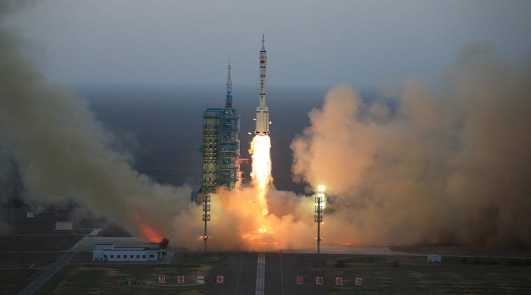
On Dec. 28, 2016, China launched a pair of high-resolution remote-sensing satellites from the Taiyuan Satellite Launch Centre in Shanxi Province, state-run Xinhua news agency reported. The satellites, SuperView-1 01/02, were launched on a Long March 2D rocket, and they’re able to provide commercial images at 0.5-meter resolution.

The satellites’ launch followed release of a white paper noting that by 2020 China plans to form a BeiDou network consisting of 35 satellites for global navigation services to compete with the U.S. GPS. According to the paper, China plans to provide basic services to countries along the Silk Road Economic Belt and 21st-century Maritime Silk Road in 2018.

Click here for more information.

UPDATE:

Two commercial Earth-imaging satellites launched by a Chinese Long March 2D booster Wednesday are flying in lower-than-planned orbits after an apparent rocket mishap, according to tracking data published by the U.S. military.

The two SuperView 1, or Gaojing 1, satellites are flying in egg-shaped orbits ranging from 133 miles (214 kilometers) to 325 miles (524 kilometers) in altitude at an inclination of 97.6 degrees.

The satellites would likely re-enter Earth’s atmosphere within months in such a low orbit, and it was unclear late Wednesday whether the craft had enough propellant to raise their altitudes.

Click here for more information on the latest news.

Two SuperView-1 high-resolution remote-sensing satellites were launched in late 2016 from the Taiyuan Satellite Launch Centre in Shanxi Province. (Credit: AP)