Asian Surveying & Mapping
Breaking News
HAL to build, market Isro’s SSLV in landmark deal
New Delhi, Jun 20: In a historic move for...
Taiwan developing space capabilities for all-weather imaging
TAIPEI (TVBS News) — Taiwan is advancing its space...
Honda hails successful test of reusable rocket as it looks to get into the space business
Tokyo — Japan's second-biggest carmaker, Honda, has successfully tested...
China’s space program provides larger platform for broader international cooperation
BEIJING -- Experts from China's manned space program said...
India To Launch $1.5 Billion Joint Earth Mission With NASA In July
National Aeronautics and Space Administration (NASA) and the Indian...
Axiom-4 mission delayed again: ISRO confirms Subhanshu Shukla’s ISS spaceflight won’t launch before 22 June 2025
The Axiom-4 mission to the International Space Station has...
Mengzhou spacecraft for China’s moon-landing mission passes landmark test flight
China has completed the inaugural test flight of its...
Space application for ITMA Asia + CITME 2026 opens
Shanghai – Space application for the 2026 edition of...
Yanmar, Chia Tai and XAG Empower Thai Agriculture through Innovation
Bang Nam Priao District, Chachoengsao Province, Thailand – On...
bitsensing Signs MOU with IKIO Technologies to Advance AI-Based Traffic Monitoring on India’s Expressways, Highways and Municipal Areas
Backed by proven success in South Korea and Europe,...
The European Space Agency (ESA) Copernicus Sentinel satellite captured this false-color image of part of Nepal, including its capital city, Kathmandu, and the Himalayan foothills.

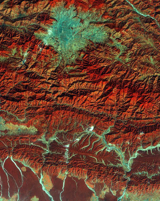
Vegetation appears red, while waterways and buildings appear light green and blue.

Although many effects remain of the tragic April 2015 earthquake that killed 9,000 people; destroyed villages, cultural symbols and structures; and forever changed the landscape, recent satellite images, among other evidence, show that the area is moving forward and doing its best to rebuild.

In this image, the runways of the Tribhuvan International Airport are clearly visible near the center of the valley. A “ring road” runs around central Kathmandu city and parts of surrounding cities.

The image demonstrates just a portion of Nepal’s varied terrain: from the mountains to the north to the plains in the south. Water runs off from the mountains, forming large rivers that cut through the forested plain, with some areas of agriculture.

In this Copernicus Sentinel satellite image, the lower part of the image appears hazier than the mountainous areas because humidity is higher in the plains. (Credit: Contains modified Copernicus Sentinel data (2015), processed by ESA)

In this Copernicus Sentinel satellite image, the lower part of the image appears hazier than the mountainous areas because humidity is higher in the plains. (Credit: Contains modified Copernicus Sentinel data (2015), processed by ESA)

Click here for further evidence of Nepal’s regrowth and rebuild.