Asian Surveying & Mapping
Breaking News
Ecolab and ITE partners to harness water management knowledge for Singapore data center engineers
SINGAPORE, 29 APRIL 2024 – Nalco Water, an Ecolab...
NASA releases satellite photos of Dubai and Abu Dhabi before and after record flooding
NASA released photos of parts of Dubai and Abu...
Singapore releases 10-year Geospatial Master Plan
Singapore has launched its new Geospatial Master Plan (2024–33),...
Japan announces plans to launch upgraded observation satellites on new flagship rocket’s 3rd flight
TOKYO (AP) — Japan’s space agency announced Friday a...
Tesla China partners with Baidu for maps to clear FSD hurdle
Amidst Elon Musk’s unannounced trip to Beijing, China this...
ESA opens ideas factory to boost space innovation in Austria
A centre to innovate the design and manufacture of...
Japan’s space agency sets June 30 as third launch date for H3 rocket
The Japan Aerospace Exploration Agency (JAXA) announced Friday that...
S. Korea launches nanosatellite for Earth observation
SEOUL- A South Korean nanosatellite was launched into orbit...
Australian Space Agency funds development of aerospace-grade GNSS receiver
The Australian Space Agency has funded the development of...
Continuity risks for Australian EO data access
A new report details the widespread use of Earth...
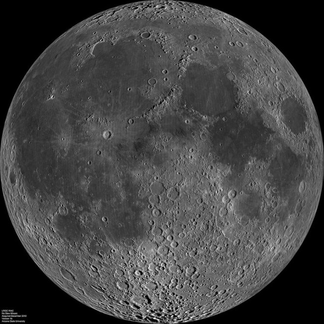
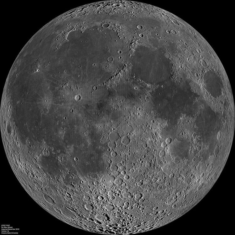
Remote-sensing structures erected on the moon could potentially last indefinitely, one of the potential benefits of the moon base China is reportedly considering.

Remote-sensing structures erected on the moon could potentially last indefinitely, one of the potential benefits of the moon base China is reportedly considering.

According to the South China Morning Post, China is considering a project to establish a permanently manned radar station on the moon. The project received an initial funding of 16 million yuan ($2.4 million) from the National Natural Science Foundation to study its feasibility.

According to project head Guo Huadong, such a station would be able to observe and monitor a wider area than can be done by current satellites. It also could be used to produce clearer images of Earth as well as provide more-detailed pictures of what’s beneath the surface, thanks to high-frequency microwaves emitted by the station.

Click here for the full article.