Asian Surveying & Mapping
Breaking News
South Korea is converting an abandoned coal mine into a moon exploration testing ground
South Korea is transforming abandoned coal mines into testing...
ISRO to Launch Chandrayaan-5 With Japan, Plans Space Station
Dr. V. Narayanan, Chairman of the Indian Space Research...
Russia and China are threatening SpaceX’s Starlink satellite constellation, new report finds
SpaceX's Starlink satellite constellation is facing threats from Russia...
China and Pakistan agree to fly 1st foreign astronaut to Chinese space station
For the first time, the Chinese space program will train...
ISRO’s “Space on Wheels” offers a peek into Indian Space Programme to students in Karimnagar
The Indian Space Research Organisation (ISRO)’s “Space on Wheels”...
Geospatial led solutions build the foundations for better decision-making
Geo Connect Asia 2025 paves the way for turning...
GEOSA, Singapore Land Authority Launch Achievements of Joint Geospatial System Project
Riyadh, SPA -- The General Authority for Survey and...
Building in Bangkok collapses as powerful earthquake hits southeast Asia
One person has died and 50 were injured in...
Bellatrix Aerospace Partners with Astroscale Japan for Space Debris Removal
Bellatrix Aerospace, a Bengaluru-based space mobility company, has joined...
NSTC announces Pingtung site as Taiwan’s space mission launch center
Taipei, March 26 (CNA) Taiwan's National Science and Technology...

Data

image

Tuesday, May 31st, 2011

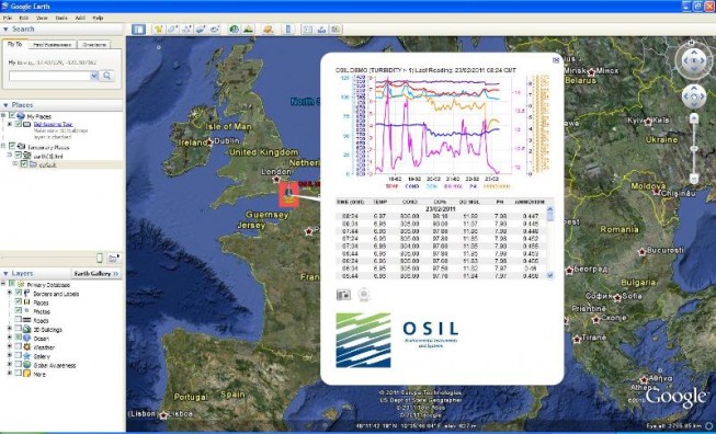
OSIL Launch New Marine Data to Web System

The Falcon (standalone), and Falconet (integrated) Data to Web system provides a low-cost and flexible solution to transmit, store, host and present data from all common sensors to a dedicated website in real time. 

Friday, March 11th, 2011

China Information Technology Has Banner Year, Led by GIS Sales

China Information Technology, Inc. (Nasdaq: CNIT) has reported a banner year with a 62% increase in revenue and a 39% increase in profit, largely led by an increase of 43% in its GIS segment. The company specializes...

Friday, June 25th, 2010

TanDEM-X Adds More Elevation Data

The TanDEM-X satellite was successfully launched recently. It is expected to provide a 12 m resolution digital elevation dataset for use around the globe. It marks yet another step in the...

Wednesday, June 16th, 2010

Asian Marine Spatial Data Infrastructures

Recent oil spill events in the Gulf of Mexico should cause others to awaken to the possibility that their coasts could be threatened by similar circumstances. Asian countries are now in a position to learn many...

Tuesday, June 15th, 2010

Blazing Internet Speeds and Open Data Make Singapore a Testbed for the Future

The government of Singapore has invested more than $700 million on broadband Internet infrastructure to provide blazing-fast speeds of 1,000 megabits per second by 2012. It has also laid out an e-government masterplan...

Thursday, May 20th, 2010

ERDAS Focuses on Cutting through the Data Deluge

ERDAS has recently released ERDAS Software 2010, Version 10.1, which traces an imagery and geospatial data manipulation workflow from the raw image to the Internet. V1 editor Matt Ball spoke with Joel Campbell, who became president...

Page 3 of 3 1 2 3