Asian Surveying & Mapping
Breaking News
Launch of Australia’s 1st orbital rocket, Gilmour Space’s Eris-1, delayed again
Update for 6:15 p.m. ET on July 1: Gilmour Space...
SAASST, UAE Space Agency strengthen scientific partnership
SHARJAH- Prof. Hamid M.K. Al Naimiy, Director of the...
Shubhanshu Shukla to speak to students and ISRO scientists this Friday
Indian astronaut Shubhanshu Shukla will interact with school students...
ISRO hands over 10 advanced technologies to Indian firms in major push for space commercialisation
The Indian Space Research Organisation (ISRO) has transferred ten...
DIGIPIN Launched: India Embraces Geospatial Precision in Digital Addressing
IIT Hyderabad (IITH), in partnership with the Department of...
HAL to build, market Isro’s SSLV in landmark deal
New Delhi, Jun 20: In a historic move for...
Taiwan developing space capabilities for all-weather imaging
TAIPEI (TVBS News) — Taiwan is advancing its space...
Honda hails successful test of reusable rocket as it looks to get into the space business
Tokyo — Japan's second-biggest carmaker, Honda, has successfully tested...
China’s space program provides larger platform for broader international cooperation
BEIJING -- Experts from China's manned space program said...
India To Launch $1.5 Billion Joint Earth Mission With NASA In July
National Aeronautics and Space Administration (NASA) and the Indian...
  • Jul 8, 2025
  • Comments Off on Ocean Explorers Map and Characterize Maritime Archaeology of Guadalcanal and Iron Bottom Sound 
  • Feature
  • 24 Views

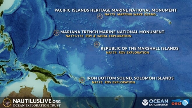
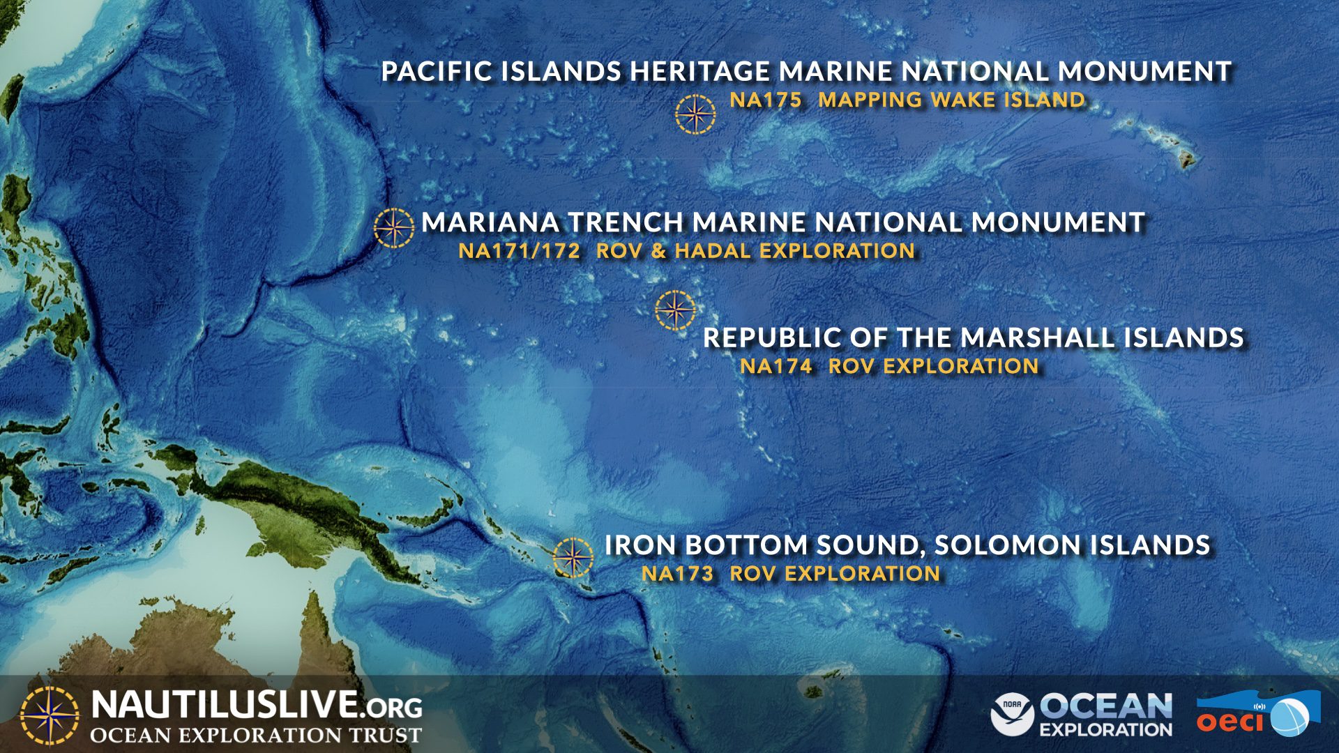
The Ocean Exploration Trust (OET)’s exploration vessel (E/V) Nautilus is underway on its third expedition of 2025 to conduct archaeological surveys of historically significant shipwrecks in the Iron Bottom Sound: the site of five famous naval battles, which were a turning point in the WWII Pacific theater. Led by OET President and explorer Dr. Robert Ballard, the 21-day expedition will utilize OET’s remotely operated vehicles (ROVs) in combination with the mapping capabilities of the University of New Hampshire’s uncrewed surface vessel (USV) DriX. This coordinated technology approach aboard E/V Nautilus demonstrates new efficiencies in archaeological ocean exploration supported by NOAA Ocean Exploration via the Ocean Exploration Cooperative Institute.  

Located in the Solomon Islands, Iron Bottom Sound was the stage of five major naval battles between August and December 1942, which resulted in the loss of over 20,000 lives, 111 naval vessels, and 1,450 planes from the Allied forces and the Empire of Japan. These underwater maritime heritage sites now rest on the seafloor in a confined area offshore Honiara, less than 25 nautical miles wide and 40 nautical miles long. To date, only 30 of the military ships lost in this area have been located, with at least 21 remaining to be found within the deep waters of Iron Bottom Sound.