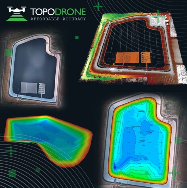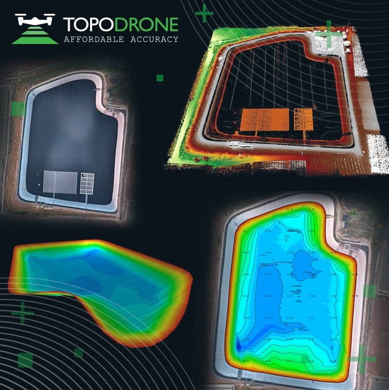

The synchronization was performed upon a request from the Israeli drone service provider ERELIS to conduct a pilot project of reservoir surveying with a UAV for ETZ HADEKEL Ltd. in Northern Israel. The surface of the reservoir is covered by solar panels, which made it difficult to carry out work using standard methods of surveying from a boat.
ERELIS performed two-stage drone surveying to deliver a high-precision 3D model of the reservoir. First, aerial photogrammetry and LiDAR surveys were performed using a DJI M300 drone equipped with a TOPODRONE camera P61 and a LiDAR HI-RES system to determine the location of possible obstacles. LiDAR scanning provided accurate detection of cables in the water.
Second, an underwater bathymetric survey using a TOPODRONE AQUAMAPPER mounted to the same drone was conducted avoiding detected obstacles (cables, solar panels and other objects). The flight mission was planned and executed with the UgCS software by SPH Engineering.
The collected LiDAR & bathymetry data was processed by TOPODRONE Post Processing software. As a result, a georeferenced orthophoto map, a 3D model of the relief and objects, a 3D model of the bottom of the reservoir, contour lines and isobaths were generated. Such 3D models can be used for high-precision assessment of sediment volumes, general monitoring of reservoir banks and visual monitoring. In addition, surveying with a TOPODRONE AQUAMAPPER made it possible to estimate sludge deposits of the reservoir.
Image Credit: TOPODRONE