Asian Surveying & Mapping
Breaking News
Australian Space Agency funds development of aerospace-grade GNSS receiver
The Australian Space Agency has funded the development of...
Continuity risks for Australian EO data access
A new report details the widespread use of Earth...
China launches new remote sensing satellite
JIUQUAN, April 15 (Xinhua) -- China on Monday launched...
7.4-Magnitude Earthquake Strikes Taiwan
A major, 7.4-magnitude earthquake struck the eastern coast of...
Tata Deploys Its Geospatial Satellite In Space on Space X’s Falcon 9 Rocket
THIRUVANANTHAPURAM: Tata Company launched India's first private commercial satellite...
Taiwan’s Formosat-8 Satellite Set for Launch by 2025
The Taiwan Space Agency has announced progress on the...
Iranian Scientists to Build Satellite Constellation for 2 Simultaneous Missions
The scientists at the knowledge-based company had previously succeeded...
China provides geospatial intel and other military support to Russia, US says
The US has warned its European allies that China...
Japanese lunar lander company ispace raises $53.5 million in stock sale
WASHINGTON — Japanese lunar lander developer has raised $53.5...
Esri and Prince Sultan University Advance GIS Education Through Strategic Partnership
Memorandum of Understanding with Institution Enhances GIS Curriculum and...

India’s 2019 monsoon season has been one of the most unusual in recent decades. From June to September 2019, India received the highest amount of monsoonal rain in 25 years of records. According to the India Meteorological Department, those rains are not expected to retreat until at least October 10, 2019, which would be the latest withdrawal of the monsoon in the country’s recorded history.

The monsoon usually accounts for around 70 percent of India’s annual rainfall, but the surplus this year has caused major hardship. According to local media, floods this year have displaced or injured at least 2.5 million people in 22 states and killed several thousand.

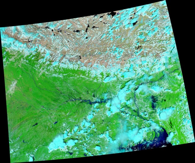
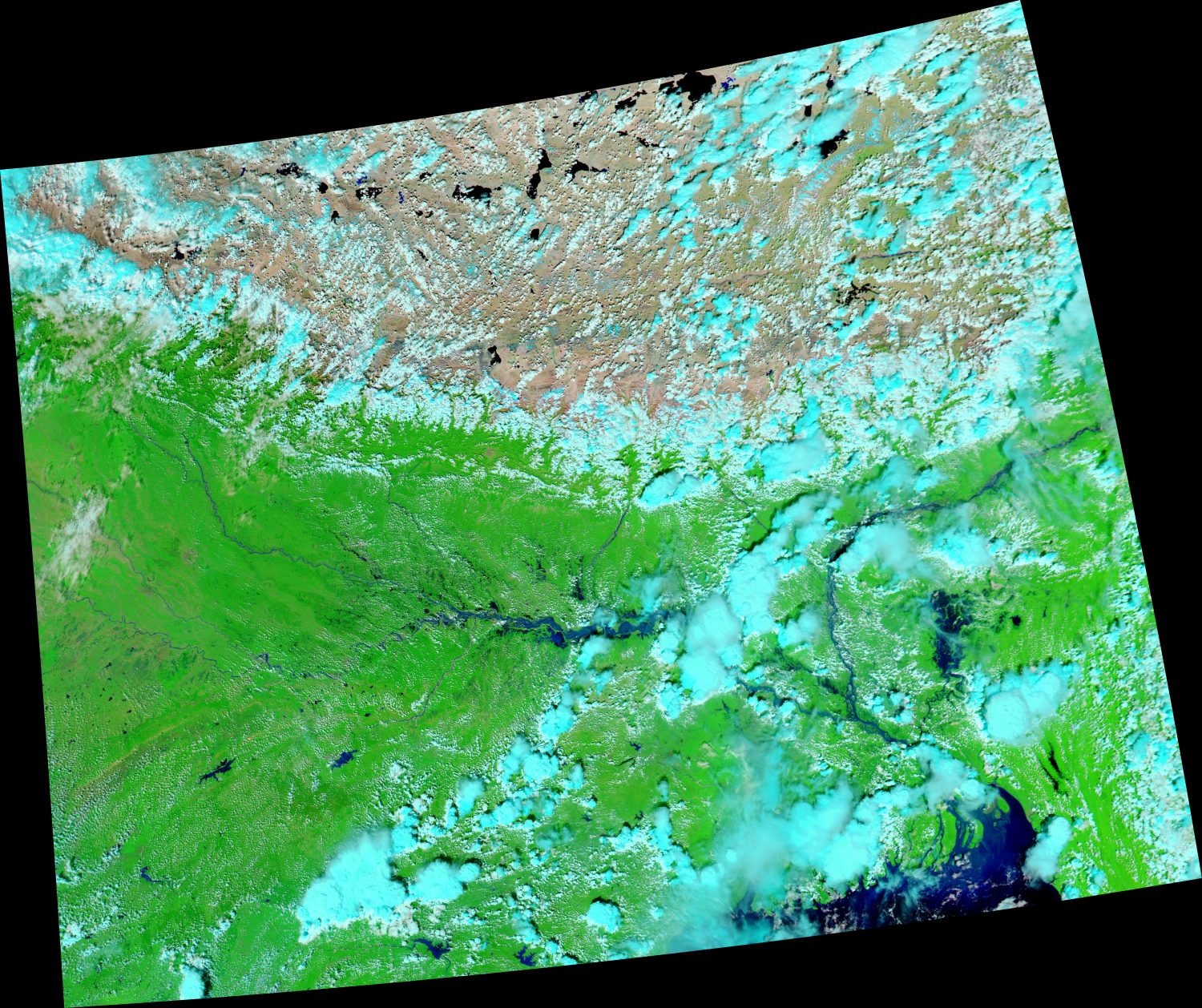
The most recently affected area is the state of Bihar in eastern India. In just a few days in late September, extreme rainfall covered many areas with knee-deep water. This image (acquired by the Moderate Resolution Imaging Spectroradiometer (MODIS) on NASA’s Aqua satellite) shows the flooding around the Ganges River in Bihar. 

Image Credit: NASA Earth Observatory images by Joshua Stevens, using MODIS data from NASA EOSDIS/LANCE and GIBS/Worldview.